UN/LOCODE hub · Germany
DEZIV

Weitendorf bei Brüel

53.7167°, 11.7500°
1
Transport functions

Transport Functions

Multimodal
UN/LOCODE

Hub Profile

Region
MV
GeoNames

Location

Location of DEZIV
Natural Earth 10m (public domain) · MV · DEZIV · 53.72, 11.75GoogleOSMYandex

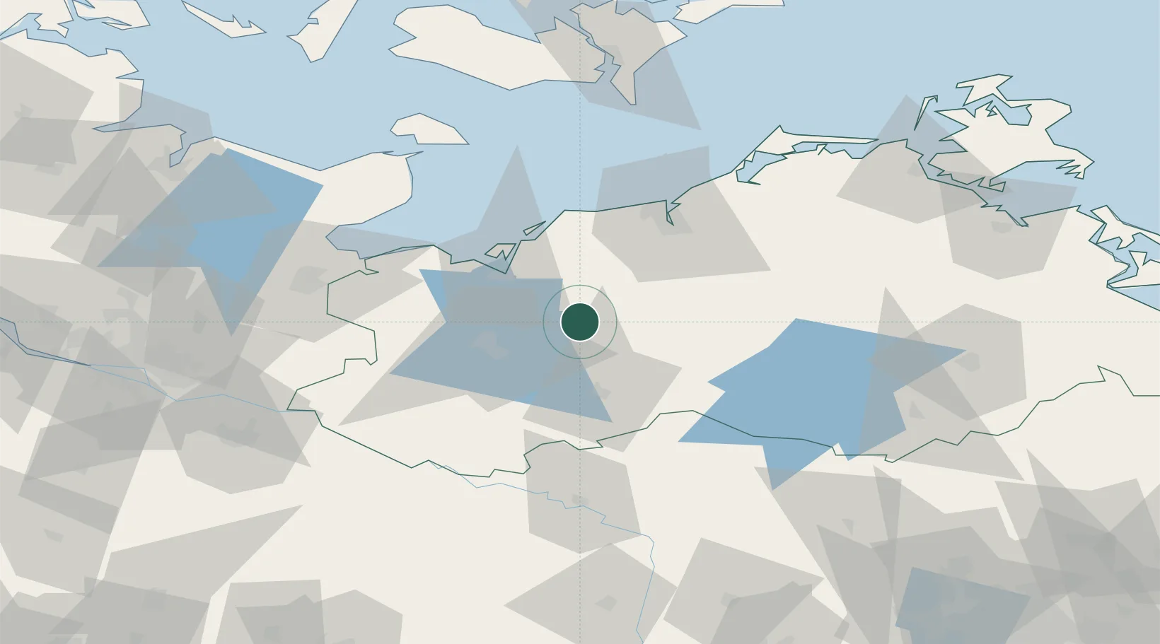
Nearby Logistics Neighbours

Cities
  1. 1Brahlstorf13 km
  2. 2Crivitz16 km
  3. 3Gallin33 km
  4. 4Spornitz35 km
  5. 5Schwaan35 km
Nearest neighbours — logibook spatial index (haversine) over the source coordinates
Ports
  1. 1Wismar28 km
  2. 2Rostock50 km
  3. 3Lubeck-Travemunde63 km
  4. 4Lubeck71 km
  5. 5Neustadt75 km
Nearest neighbours — logibook spatial index (haversine) over the source coordinates
Airports
  1. 1Rostock-Laage Airport41 km
  2. 2Lübeck Blankensee Airport69 km
  3. 3Neubrandenburg Trollenhagen Airport103 km
  4. 4Lolland Falster Maribo Airport111 km
  5. 5Hamburg Helmut Schmidt Airport116 km
Nearest neighbours — logibook spatial index (haversine) over the source coordinates
Trade Zones
  1. 1Freeport of Kiel124 km
  2. 2Swinoujscie Duty Free Zone167 km
  3. 3Szczecin Duty Free Zone189 km
  4. 4Freeport of Bremerhaven (Freihafen Bremerhaven)209 km
  5. 5Freeport of Cuxhaven (Freihafen Cuxhaven)210 km
Nearest neighbours — logibook spatial index (haversine) over the source coordinates
DatabookThe Record of Consolidated Knowledge
Germany beyond logistics?
Browse databook

All Sources

LocationsUN/LOCODE
UN/LOCODE — free
Portsthe NGA World Port Index
Public domain (US gov)
AirportsOurAirports
Public domain
Trade Zonesthe World Bank SEZ database
CC BY 4.0
Trade ZonesOpen Zone Map
CC BY
← Germany locations