UN/LOCODE hub · Germany
DERRE

Rerik

54.1000°, 11.6167°
2
Transport functions

Transport Functions

Port
Road
UN/LOCODE

Hub Profile

Region
MV
GeoNames

Location

Location of DERRE
Natural Earth 10m (public domain) · MV · DERRE · 54.10, 11.62GoogleOSMYandex

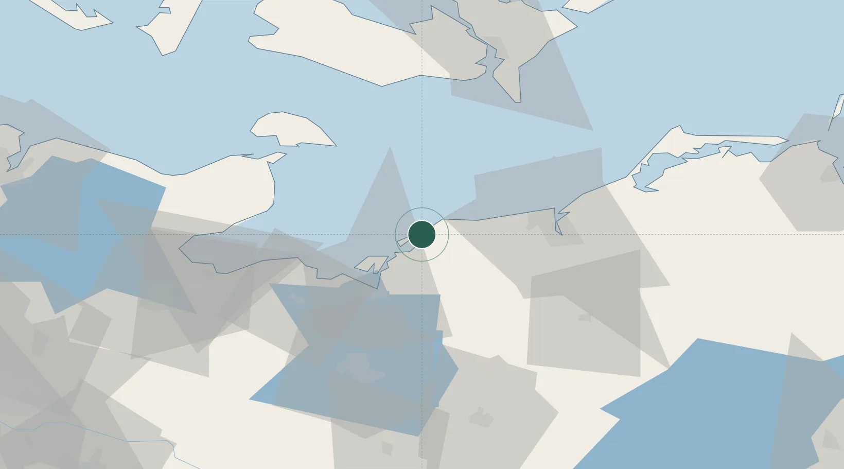
Nearby Logistics Neighbours

Cities
  1. 1Ostseebad Kuhlungsborn10 km
  2. 2Parkentin24 km
  3. 3Wohlenberg30 km
  4. 4Warnemünde31 km
  5. 5Rostock35 km
Nearest neighbours — logibook spatial index (haversine) over the source coordinates
Ports
  1. 1Wismar24 km
  2. 2Rostock34 km
  3. 3Lubeck-Travemunde50 km
  4. 4Heiligenhafen51 km
  5. 5Neustadt52 km
Nearest neighbours — logibook spatial index (haversine) over the source coordinates
Airports
  1. 1Rostock-Laage Airport48 km
  2. 2Lübeck Blankensee Airport67 km
  3. 3Lolland Falster Maribo Airport68 km
  4. 4Kiel-Holtenau Airport101 km
  5. 5Ærø Airfield112 km
Nearest neighbours — logibook spatial index (haversine) over the source coordinates
Trade Zones
  1. 1Freeport of Kiel97 km
  2. 2Swinoujscie Duty Free Zone175 km
  3. 3Freeport of Copenhagen- Nordhavn190 km
  4. 4MTS Malmö Transport and Spedition192 km
  5. 5Freeport of Cuxhaven (Freihafen Cuxhaven)202 km
Nearest neighbours — logibook spatial index (haversine) over the source coordinates
DatabookThe Record of Consolidated Knowledge
Germany beyond logistics?
Browse databook

All Sources

LocationsUN/LOCODE
UN/LOCODE — free
Portsthe NGA World Port Index
Public domain (US gov)
AirportsOurAirports
Public domain
Trade Zonesthe World Bank SEZ database
CC BY 4.0
Trade ZonesOpen Zone Map
CC BY
← Germany locations