Transport Functions
Multimodal
Hub Profile
Place type
Local administrative seat
Region
Schleswig-Holstein
Population
1,357
Time zone
Europe/Berlin
Elevation
9 m
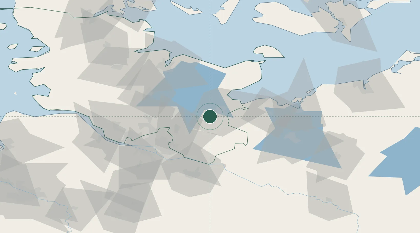
Location
Nearby Logistics Neighbours
Cities
- 1Gross Grönau12 km
- 2Lübeck12 km
- 3Weede16 km
- 4Selmsdorf19 km
- 5Ahrensboek20 km
Ports
- 1Lubeck10 km
- 2Lubeck-Travemunde25 km
- 3Neustadt33 km
- 4Hamburg53 km
- 5Wismar58 km
Airports
Trade Zones
DatabookThe Record of Consolidated Knowledge
Germany beyond logistics?