Transport Functions
Port
Road
Hub Profile
Place type
Urban district
Region
Schleswig-Holstein
Time zone
Europe/Berlin
Elevation
18 m
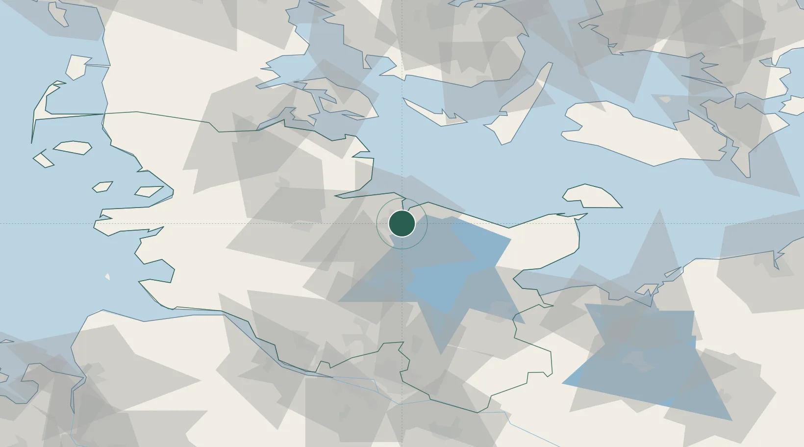
Location
Nearby Logistics Neighbours
Cities
- 1Schönkirchen2 km
- 2Kiel3 km
- 3Kronshagen7 km
- 4Schwentinental8 km
- 5Lilienthal8 km
Ports
- 1Kiel4 km
- 2Eckernforde28 km
- 3Rendsburg33 km
- 4Kappeln40 km
- 5Neustadt49 km
Airports
- 1Kiel-Holtenau Airport6 km
- 2Hohn Air Base42 km
- 3Schleswig Air Base45 km
- 4Ærø Airfield60 km
- 5Lübeck Blankensee Airport68 km
Trade Zones
DatabookThe Record of Consolidated Knowledge
Germany beyond logistics?