Transport Functions
Port
Rail
Road
Airport
Hub Profile
Place type
Regional capital
Region
Schleswig-Holstein
Population
246,601
Time zone
Europe/Berlin
Elevation
7 m
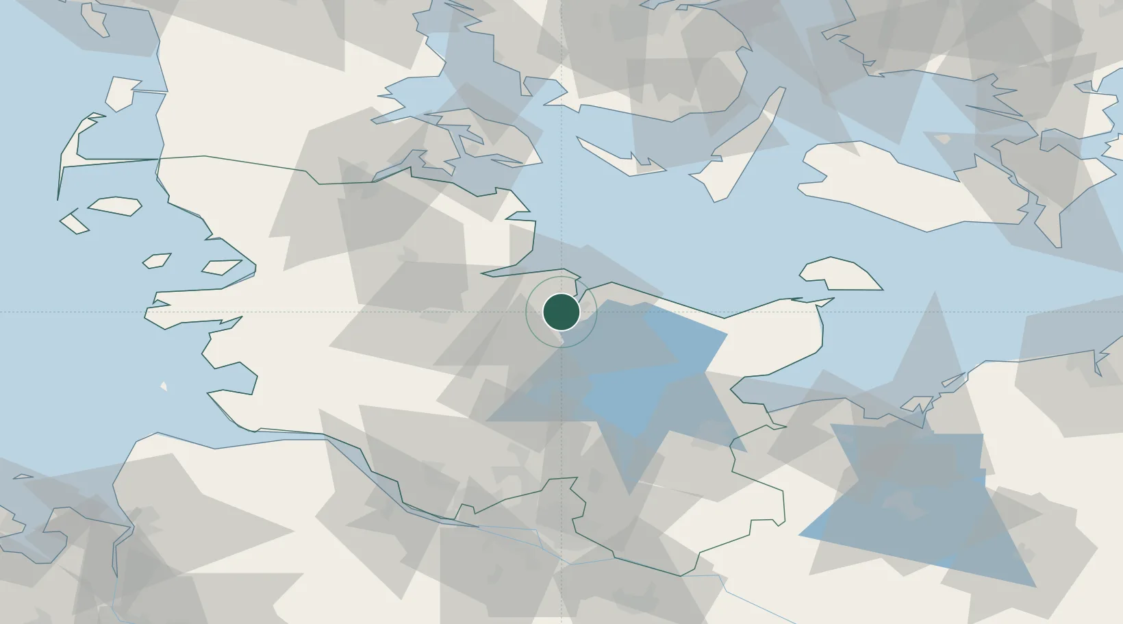
Location
Nearby Logistics Neighbours
Cities
- 1Ellerbek3 km
- 2Kronshagen3 km
- 3Schönkirchen5 km
- 4Schwentinental9 km
- 5Flintbek10 km
Ports
- 1Eckernforde26 km
- 2Rendsburg29 km
- 3Kappeln39 km
- 4Neustadt51 km
- 5Heiligenhafen55 km
Airports
- 1Kiel-Holtenau Airport5 km
- 2Hohn Air Base39 km
- 3Schleswig Air Base42 km
- 4Ærø Airfield61 km
- 5Lübeck Blankensee Airport70 km
Trade Zones
DatabookThe Record of Consolidated Knowledge
Germany beyond logistics?