Transport Functions
Multimodal
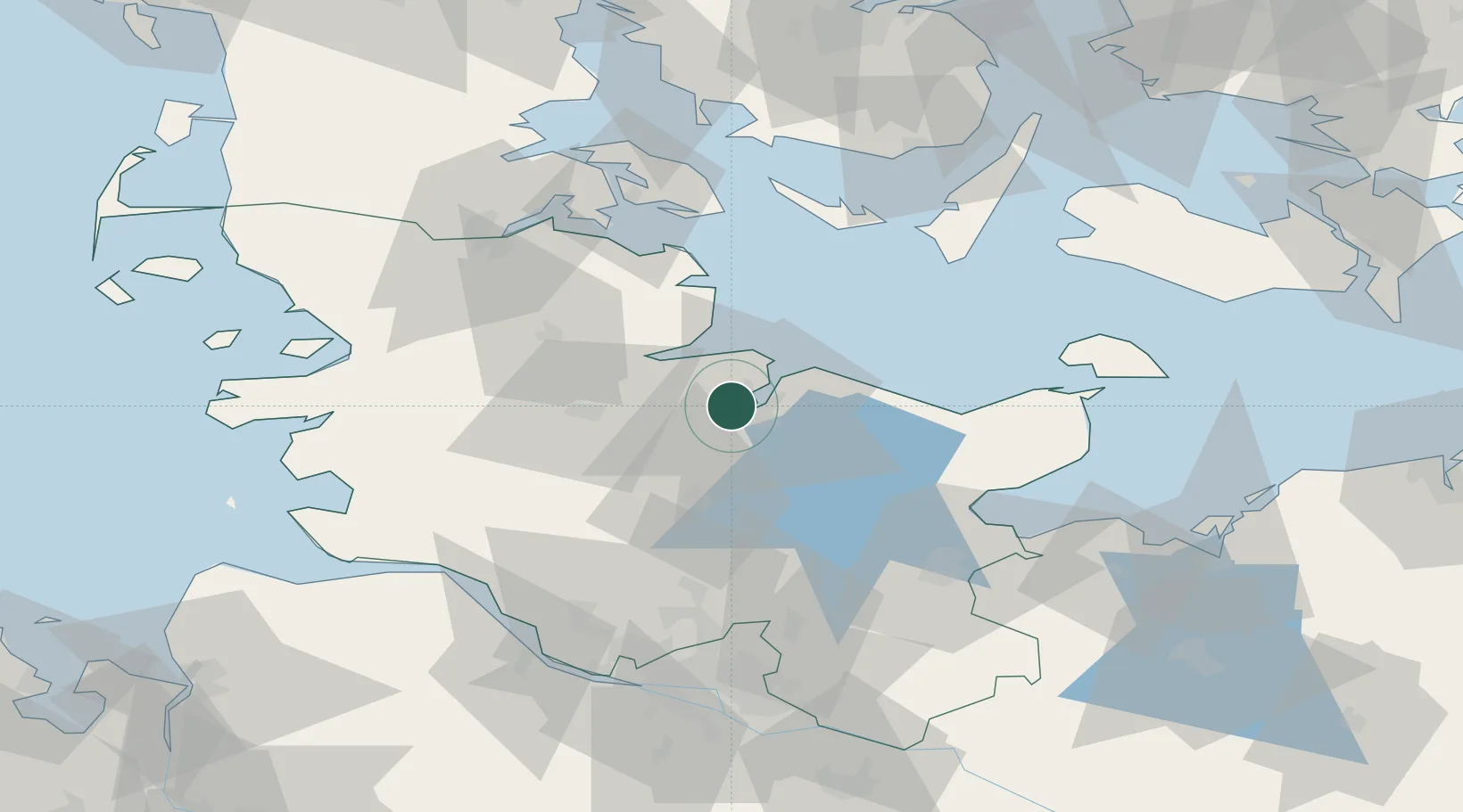
Hub Profile
Place type
Local administrative seat
Region
Schleswig-Holstein
Population
11,856
Time zone
Europe/Berlin
Elevation
17 m
Location
Nearby Logistics Neighbours
Cities
- 1Kiel3 km
- 2Ellerbek7 km
- 3Achterwehr8 km
- 4Schönkirchen9 km
- 5Flintbek9 km
Ports
- 1Kiel4 km
- 2Eckernforde23 km
- 3Rendsburg26 km
- 4Kappeln38 km
- 5Neustadt54 km
Airports
- 1Kiel-Holtenau Airport7 km
- 2Hohn Air Base35 km
- 3Schleswig Air Base39 km
- 4Ærø Airfield63 km
- 5Lübeck Blankensee Airport72 km
Trade Zones
DatabookThe Record of Consolidated Knowledge
Germany beyond logistics?