Channel & Berth Profile
Pilotage, Tugs & Services
Pilotage compulsoryYES
Pilotage availableYES
Pilotage advisableYES
Tug assistanceYES
Potable waterYES
Diesel bunkersNO
MedicalYES
Facilities & Capabilities
Container—
Ro-Ro—
Liquid bulk—
Dry bulkYES
Oil terminal—
Break bulkYES
Dry dock—
RepairsNO
BunkeringNO
Rail linkYES
Dangerous cargo—
ISPS security—
Harbour Specifications
Harbour size
Small
Harbour type
Open Roadstead
Shelter
Good
Water body
Straits of Florida; North Atlantic Ocean
Tidal range
0.8 m
Overhead limit
No
Pilotage
Yes
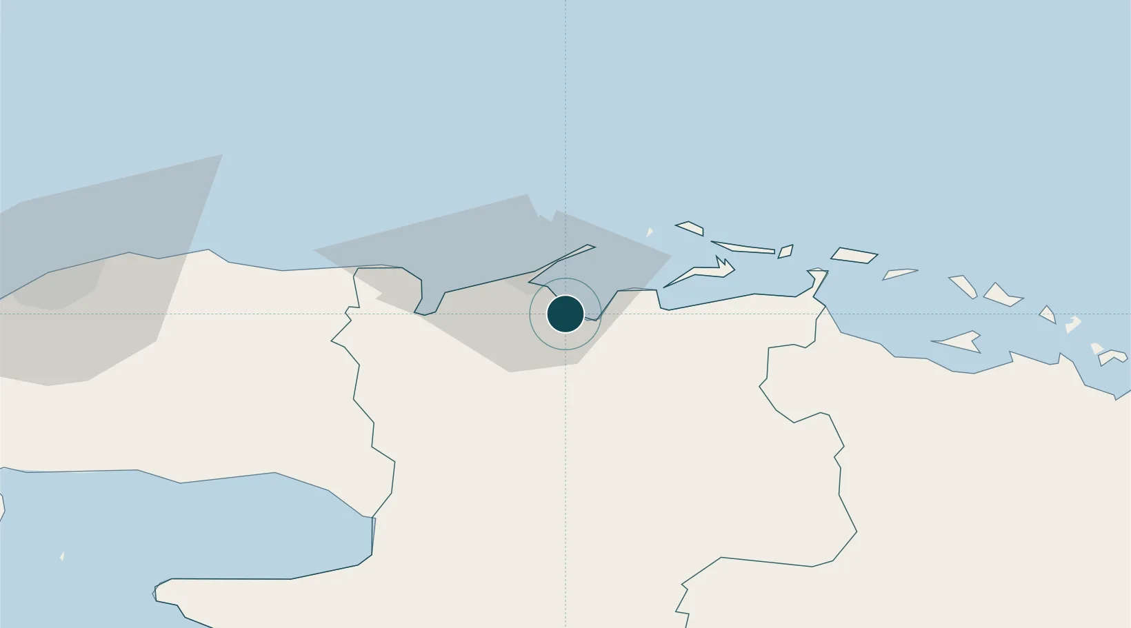
Location
Nearby Logistics Neighbours
Ports
- 1Matanzas36 km
- 2Bahai De La Habana120 km
- 3Isabela De Sagua123 km
- 4Cienfuegos126 km
- 5Mariel159 km
Cities
- 1La Habana117 km
- 2Sagua la Grande119 km
- 3Mariel160 km
- 4Cabañas176 km
- 5Summerland Key180 km
Airports
Trade Zones
- 1Mariel Special Development Zone163 km
- 2FTZ No. 281 Miami-Dade County283 km
- 3FTZ No. 032 Miami318 km
- 4FTZ No. 180 Miami (Wynwood)322 km
- 5FTZ No. 025 Broward County354 km
DatabookThe Record of Consolidated Knowledge
Cuba beyond logistics?