Transport Functions
Port
Rail
Road
Hub Profile
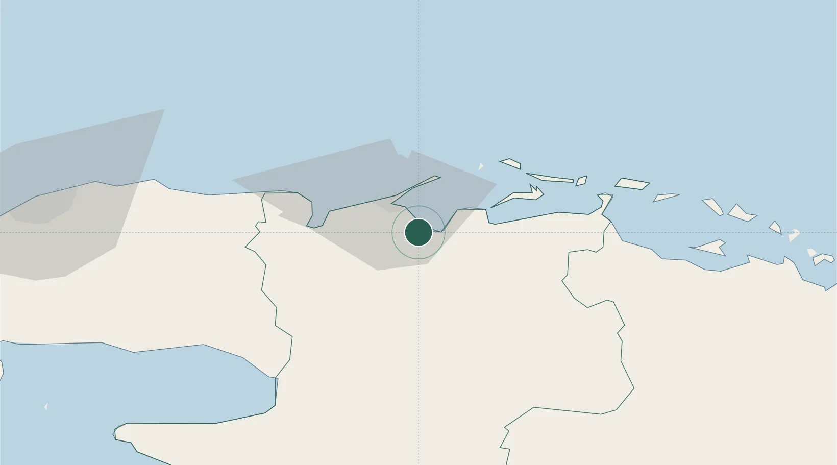
Place type
Provincial seat
Region
Matanzas Province
Population
98,515
Time zone
America/Havana
Elevation
9 m
Location
Nearby Logistics Neighbours
Cities
- 1La Habana117 km
- 2Sagua la Grande119 km
- 3Mariel160 km
- 4Cabañas176 km
- 5Summerland Key182 km
Ports
- 1Matanzas36 km
- 2Bahai De La Habana120 km
- 3Isabela De Sagua123 km
- 4Cienfuegos125 km
- 5Mariel159 km
Airports
Trade Zones
- 1Mariel Special Development Zone163 km
- 2FTZ No. 281 Miami-Dade County285 km
- 3FTZ No. 032 Miami320 km
- 4FTZ No. 180 Miami (Wynwood)324 km
- 5FTZ No. 025 Broward County356 km
DatabookThe Record of Consolidated Knowledge
Cuba beyond logistics?