Large airport · Cuba
José Martí International AirportMUHA
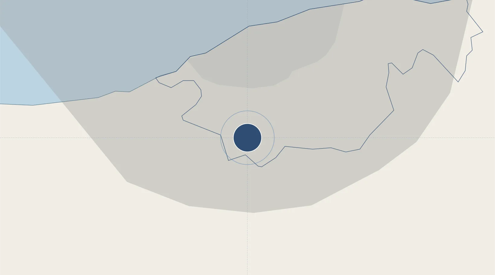
22.9892°, -82.4091°
13,123 ft
Longest runway
1
Runways
210 ft
Elevation
Runway & Layout

Radio Frequencies
ATIS
132.5 MHz
TWR
118.1 MHz
MARTI TWR
GND
121.9 MHz
CLD
121.9 MHz
CLNC DEL
APP
119.35 MHz
HABANA APP
A/G
126.9 MHz
BOYEROS RDO NATL
A/G
288.7 MHz
BOYEROS RDO INTL
A/G
1132.1 MHz
BOYEROS RDO NATL
A/G
1329.7 MHz
BOYEROS RDO INTL
Navaids
UHA VOR-DME Habana 116.10 MHz
Runways · 1
| Runway | Dimensions | Surface | True heading | Lit |
|---|---|---|---|---|
| 06/24 | 13,123 × 148ft | Asphalt | 054° | ✓ |
Airport Specifications
IATA code
HAV
ICAO code
MUHA
Airport class
Large airport
Scheduled service
Yes
Runway surface
Asphalt
Served city
Havana
Location
Nearby Logistics Neighbours
Airports
- 1Playa Baracoa Airport18 km
- 2San Nicolás de Bari Airport56 km
- 3Juan Gualberto Gomez International Airport100 km
- 4Kawama Airport114 km
- 5Rafael Cabrera Airport134 km
Cities
- 1La Habana16 km
- 2Mariel36 km
- 3Cabañas52 km
- 4Bahía Honda78 km
- 5Cárdenas124 km
Ports
- 1Bahai De La Habana17 km
- 2Mariel35 km
- 3Cabanas57 km
- 4Bahia Honda78 km
- 5Matanzas88 km
Trade Zones
- 1Mariel Special Development Zone39 km
- 2FTZ No. 281 Miami-Dade County332 km
- 3FTZ No. 032 Miami377 km
- 4FTZ No. 180 Miami (Wynwood)384 km
- 5FTZ No. 213 Fort Myers407 km
DatabookThe Record of Consolidated Knowledge
Cuba beyond logistics?