UN/LOCODE hub · Cuba
CUMAR
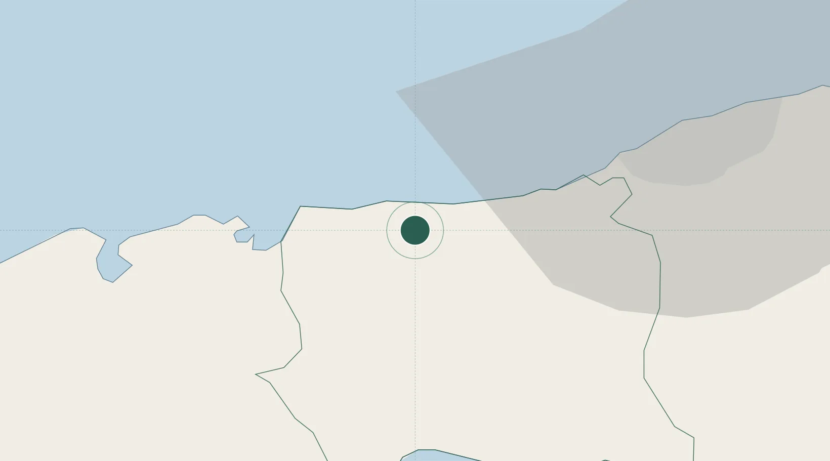
Mariel
22.9998°, -82.7643°
28,987
Population
4
Transport functions
1
Container terminals
Transport Functions
Port
Rail
Road
Airport
Hub Profile
Place type
Provincial seat
Region
Artemisa
Population
28,987
Time zone
America/Havana
Elevation
16 m
Logistics facilities
4
Container terminals
1
Location
Nearby Logistics Neighbours
Cities
- 1Cabañas16 km
- 2Bahía Honda43 km
- 3La Habana45 km
- 4Cárdenas160 km
- 5Summerland Key227 km
Ports
- 1Cabanas21 km
- 2Bahia Honda41 km
- 3Bahai De La Habana43 km
- 4Nueva Gerona121 km
- 5Matanzas124 km
Airports
Trade Zones
- 1Mariel Special Development Zone2 km
- 2FTZ No. 281 Miami-Dade County351 km
- 3FTZ No. 032 Miami398 km
- 4FTZ No. 180 Miami (Wynwood)405 km
- 5FTZ No. 213 Fort Myers412 km
DatabookThe Record of Consolidated Knowledge
Cuba beyond logistics?