Seaport · Cuba
Bahai De La HabanaCUHAV
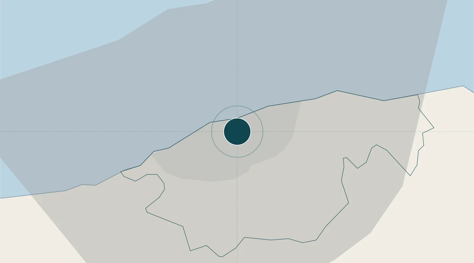
23.1333°, -82.3667°
12.5 m
Channel depth
1
Container terminals
10.0
Port liner connectivity
Channel & Berth Profile
Pilotage, Tugs & Services
Pilotage compulsoryYES
Pilotage availableYES
Pilotage advisableYES
Tug assistanceYES
Shore powerYES
Potable waterYES
Diesel bunkersYES
MedicalYES
Facilities & Capabilities
ContainerYES
Ro-RoYES
Liquid bulkYES
Dry bulkYES
Oil terminal—
Break bulkYES
Dry dockNO
RepairsNO
BunkeringYES
Rail linkYES
Dangerous cargo—
ISPS securityYES
Harbour Specifications
Harbour size
Large
Harbour type
Coastal (Breakwater)
Shelter
Excellent
Water body
Gulf of Mexico; North Atlantic Ocean
Tidal range
0.4 m
Overhead limit
No
Pilotage
Yes
Liner Connectivity
10
PLSCI
Port Liner Shipping Connectivity Index for Bahai De La Habana, as published by UNCTAD for the latest available quarter. Higher values indicate stronger scheduled liner-shipping integration.
Shown relative to the highest per-port PLSCI in the dataset (1,657.9).
Location
Container Terminals · 1
TERMINAL DE CONTENEDORES DE LA HABANA
HABA TERMINAL DE CONTENEDORES DE LA HABANA (TCH)
Nearby Logistics Neighbours
Ports
- 1Mariel43 km
- 2Cabanas63 km
- 3Bahia Honda84 km
- 4Matanzas84 km
- 5Cardenas120 km
Cities
- 1Mariel43 km
- 2Cabañas59 km
- 3Bahía Honda86 km
- 4Cárdenas120 km
- 5Summerland Key193 km
Airports
Trade Zones
- 1Mariel Special Development Zone45 km
- 2FTZ No. 281 Miami-Dade County316 km
- 3FTZ No. 032 Miami362 km
- 4FTZ No. 180 Miami (Wynwood)369 km
- 5FTZ No. 213 Fort Myers390 km
DatabookThe Record of Consolidated Knowledge
Cuba beyond logistics?