Transport Functions
Port
Rail
Road
Airport
Postal
Hub Profile
Place type
Locality
Region
Camagüey
Time zone
America/Havana
Elevation
23 m
Logistics facilities
1
Container terminals
1
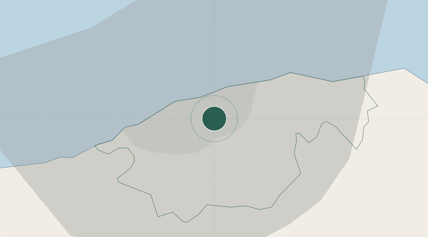
Location
Nearby Logistics Neighbours
Cities
- 1Mariel45 km
- 2Cabañas61 km
- 3Bahía Honda88 km
- 4Cárdenas117 km
- 5Summerland Key193 km
Ports
- 1Mariel44 km
- 2Cabanas65 km
- 3Matanzas82 km
- 4Bahia Honda86 km
- 5Cardenas117 km
Airports
Trade Zones
- 1Mariel Special Development Zone47 km
- 2FTZ No. 281 Miami-Dade County316 km
- 3FTZ No. 032 Miami362 km
- 4FTZ No. 180 Miami (Wynwood)369 km
- 5FTZ No. 213 Fort Myers392 km
DatabookThe Record of Consolidated Knowledge
Cuba beyond logistics?