Transport Functions
Port
Hub Profile
Place type
Populated place
Region
Artemisa
Population
5,894
Time zone
America/Havana
Elevation
7 m
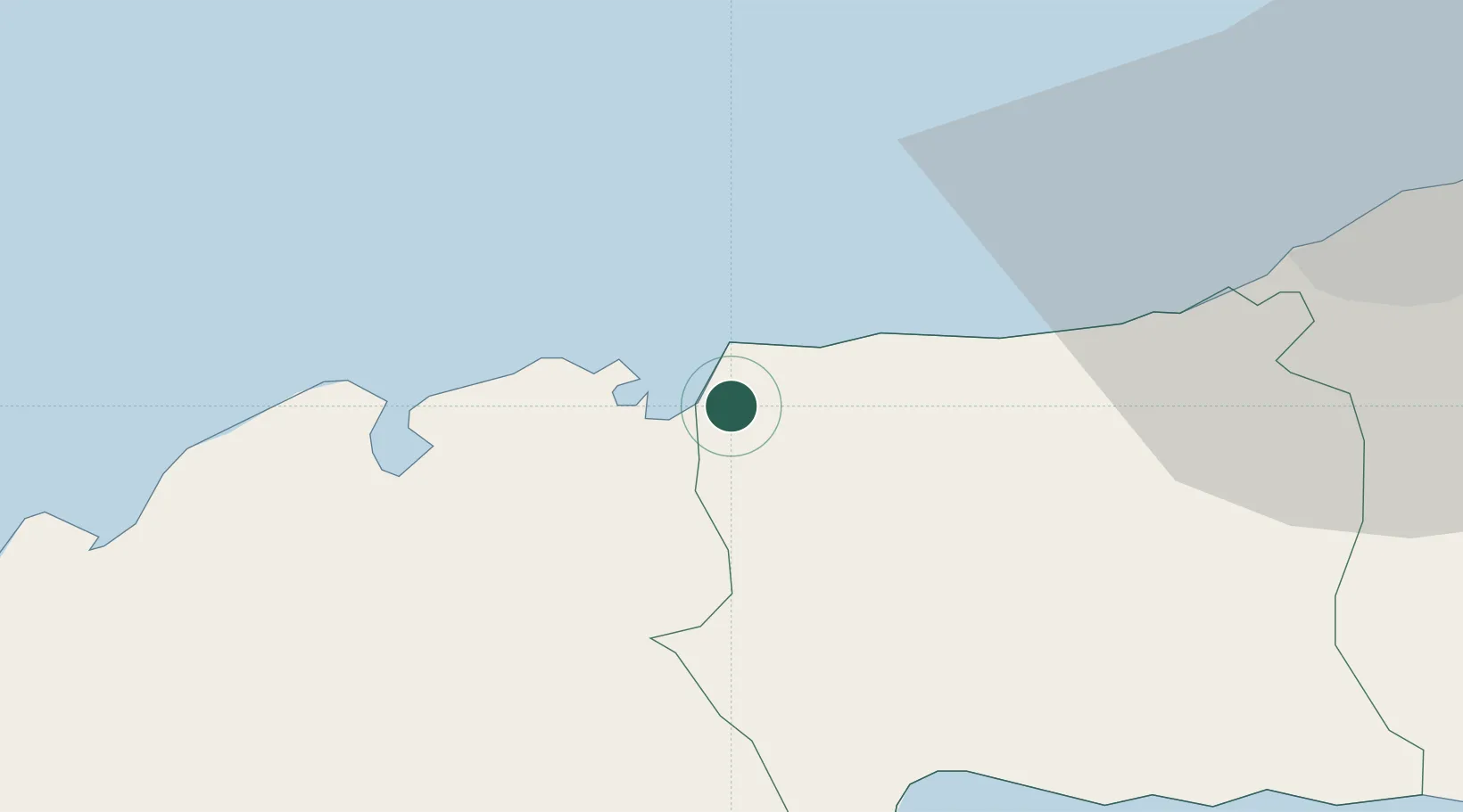
Location
Nearby Logistics Neighbours
Cities
- 1Mariel16 km
- 2Bahía Honda27 km
- 3La Habana61 km
- 4Cárdenas176 km
- 5Summerland Key238 km
Ports
- 1Mariel17 km
- 2Bahia Honda26 km
- 3Bahai De La Habana59 km
- 4Santa Lucia113 km
- 5Nueva Gerona119 km
Airports
- 1Playa Baracoa Airport35 km
- 2José Martí International Airport52 km
- 3San Nicolás de Bari Airport105 km
- 4Rafael Cabrera Airport129 km
- 5Siguanea Airport149 km
Trade Zones
- 1Mariel Special Development Zone13 km
- 2FTZ No. 281 Miami-Dade County362 km
- 3FTZ No. 032 Miami409 km
- 4FTZ No. 180 Miami (Wynwood)417 km
- 5FTZ No. 213 Fort Myers417 km
DatabookThe Record of Consolidated Knowledge
Cuba beyond logistics?