Transport Functions
Port
Road
Hub Profile
Place type
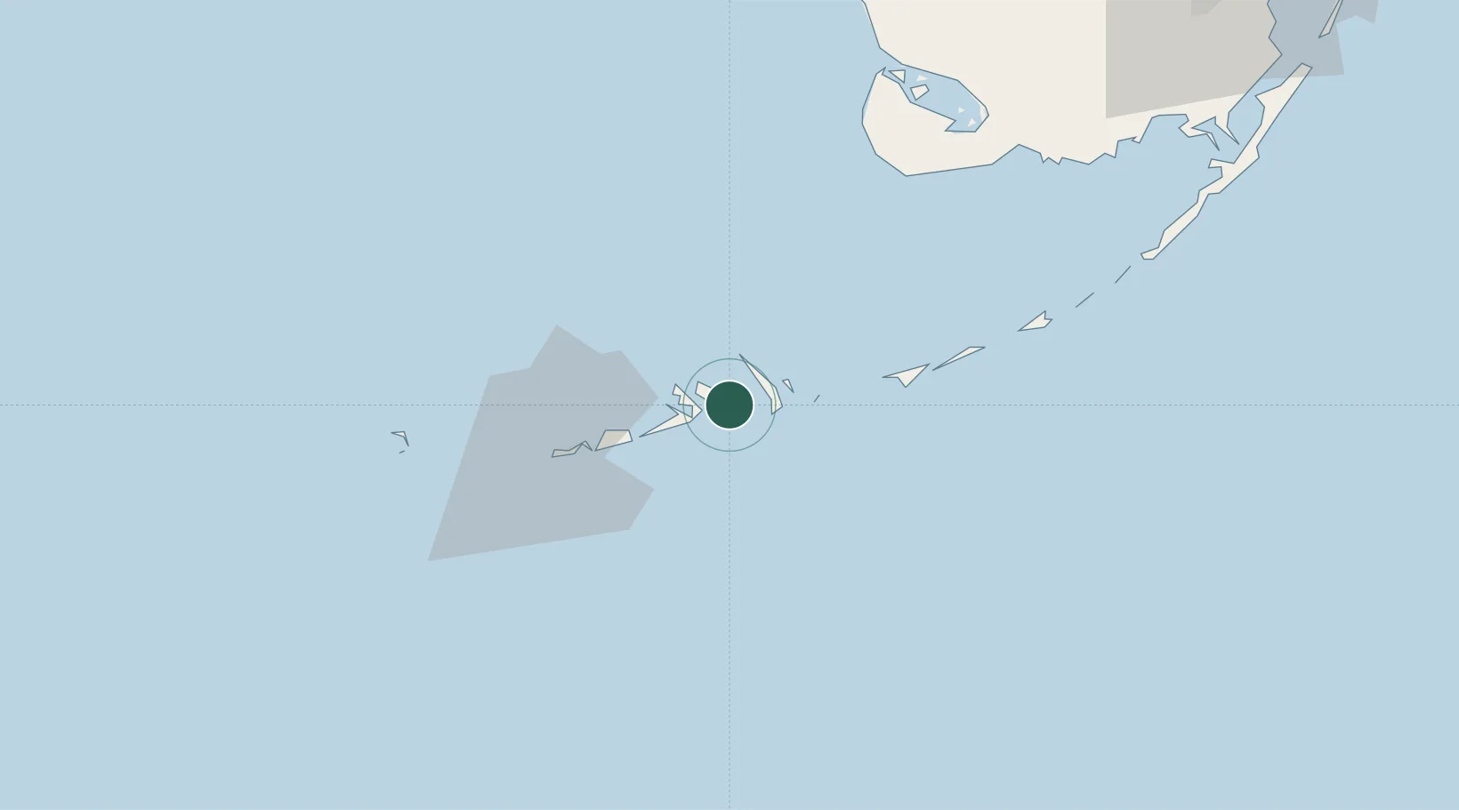
Populated place
Region
Florida
Time zone
America/New_York
Elevation
0 m
Location
Nearby Logistics Neighbours
Cities
- 1Islamorada89 km
- 2Plantation97 km
- 3Tavernier102 km
- 4Florida City132 km
- 5Naranja142 km
Ports
- 1Key West39 km
- 2Matanzas178 km
- 3Miami179 km
- 4Cardenas180 km
- 5Bahai De La Habana193 km
Airports
Trade Zones
- 1FTZ No. 281 Miami-Dade County124 km
- 2FTZ No. 032 Miami171 km
- 3FTZ No. 180 Miami (Wynwood)179 km
- 4FTZ No. 025 Broward County207 km
- 5FTZ No. 241 Fort Lauderdale215 km
DatabookThe Record of Consolidated Knowledge
United States beyond logistics?