Medium airport · Cuba

San Nicolás de Bari AirportMUNB
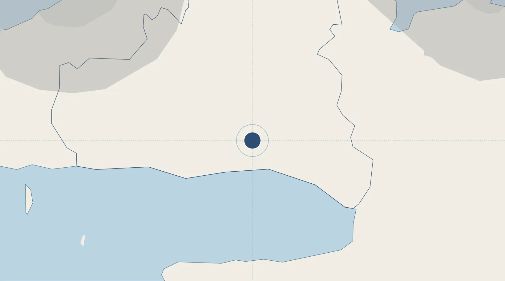
22.7565°, -81.9207°
3,300 ft
Longest runway
1
Runways
49 ft
Elevation

Runway & Layout

San Nicolás de Bari Airport runway & taxiway layout
Runway & taxiway layout — OpenStreetMap (ODbL) / OurAirports

Runways · 1

RunwayDimensions SurfaceTrue headingLit
06/24 3,300 × 100ft Asphalt 056°
OurAirports

Airport Specifications

ICAO code
MUNB
OurAirports
Airport class
Medium airport
OurAirports
Scheduled service
No
OurAirports
Runway surface
Asphalt
OurAirports
Served city
San Nicolás de Bari
OurAirports

Location

Location of MUNB
Natural Earth 10m (public domain) · Mayabeque · MUNB · 22.76, -81.92GoogleOSMYandex

Nearby Logistics Neighbours

Airports
  1. 1José Martí International Airport56 km
  2. 2Juan Gualberto Gomez International Airport59 km
  3. 3Playa Baracoa Airport74 km
  4. 4Kawama Airport75 km
  5. 5Vilo Acuña International Airport133 km
Nearest neighbours — logibook spatial index (haversine) over the source coordinates
Cities
  1. 1La Habana59 km
  2. 2Cárdenas80 km
  3. 3Mariel91 km
  4. 4Cabañas105 km
  5. 5Bahía Honda129 km
Nearest neighbours — logibook spatial index (haversine) over the source coordinates
Ports
  1. 1Matanzas50 km
  2. 2Bahai De La Habana62 km
  3. 3Cardenas81 km
  4. 4Mariel89 km
  5. 5Cabanas111 km
Nearest neighbours — logibook spatial index (haversine) over the source coordinates
Trade Zones
  1. 1Mariel Special Development Zone93 km
  2. 2FTZ No. 281 Miami-Dade County334 km
  3. 3FTZ No. 032 Miami375 km
  4. 4FTZ No. 180 Miami (Wynwood)381 km
  5. 5Cayman Enterprise City388 km
Nearest neighbours — logibook spatial index (haversine) over the source coordinates
DatabookThe Record of Consolidated Knowledge
Cuba beyond logistics?
Browse databook

All Sources

AirportsOurAirports
Public domain
Portsthe NGA World Port Index
Public domain (US gov)
LocationsUN/LOCODE
UN/LOCODE — free
Trade Zonesthe World Bank SEZ database
CC BY 4.0
Trade ZonesOpen Zone Map
CC BY
InfrastructureOpenStreetMap
ODbL 1.0
← Cuba airports