Medium airport · Costa Rica

Palmar Sur AirportMRPM
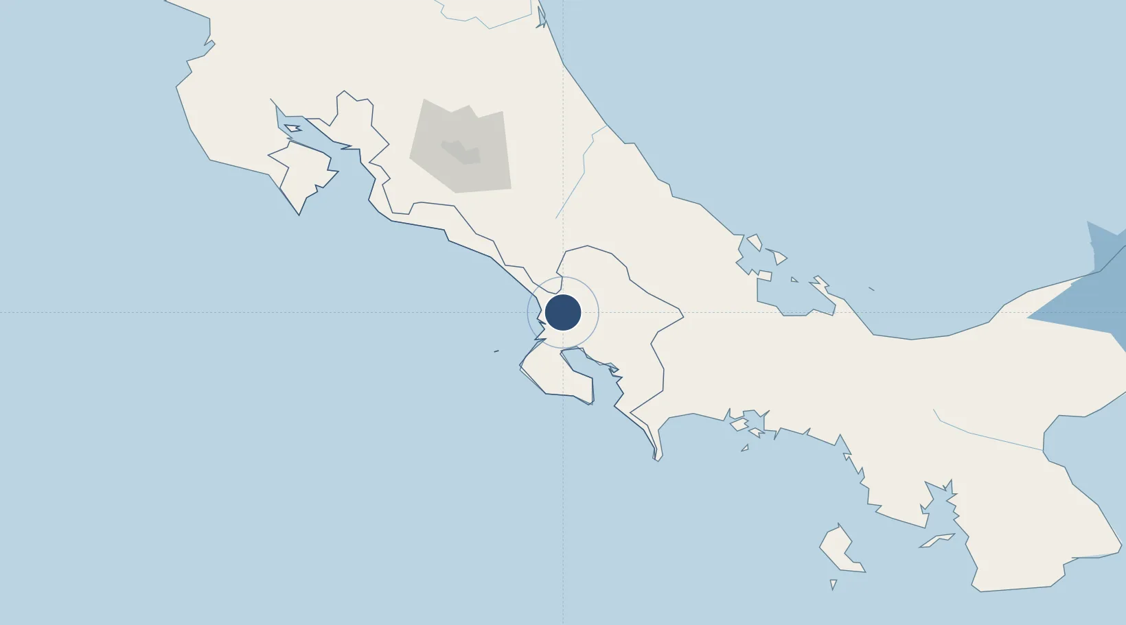
8.9510°, -83.4686°
4,570 ft
Longest runway
1
Runways
49 ft
Elevation

Runway & Layout

Palmar Sur Airport runway & taxiway layout
Runway & taxiway layout — OpenStreetMap (ODbL) / OurAirports

Radio Frequencies

RDO
126.8 MHz
COCO RDO
OurAirports

Runways · 1

RunwayDimensions SurfaceTrue headingLit
04/22 4,570 × 60ft Asphalt 004°
OurAirports

Airport Specifications

IATA code
PMZ
OurAirports
ICAO code
MRPM
OurAirports
Airport class
Medium airport
OurAirports
Scheduled service
No
OurAirports
Runway surface
Asphalt
OurAirports
Served city
Palmar Sur
OurAirports

Location

Location of MRPM
Natural Earth 10m (public domain) · Puntarenas · MRPM · 8.95, -83.47GoogleOSMYandex

Nearby Logistics Neighbours

Airports
  1. 1Buenos Aires Airport28 km
  2. 2Golfito Airport46 km
  3. 3Puerto Jimenez Airport50 km
  4. 4Coto 47 Airport67 km
  5. 5Quepos Managua Airport91 km
Nearest neighbours — logibook spatial index (haversine) over the source coordinates
Cities
  1. 1Palmar Norte2 km
  2. 2Pejibaye26 km
  3. 3Palmares46 km
  4. 4Golfito48 km
  5. 5Neily68 km
Nearest neighbours — logibook spatial index (haversine) over the source coordinates
Ports
  1. 1Golfito49 km
  2. 2Puerto Quepos94 km
  3. 3Puerto Armuelles102 km
  4. 4Charco Azul105 km
  5. 5Almirante124 km
Nearest neighbours — logibook spatial index (haversine) over the source coordinates
Trade Zones
  1. 1Baru Free Zone (Tourist and Multimodal Logistics Support Zone)101 km
  2. 2Zeta Free Zone Catargo114 km
  3. 3Lima Free Zone and Business Park115 km
  4. 4Caribe Industrial Park & Free Zone122 km
  5. 5FreeHold Free Zone128 km
Nearest neighbours — logibook spatial index (haversine) over the source coordinates
DatabookThe Record of Consolidated Knowledge
Costa Rica beyond logistics?
Browse databook

All Sources

AirportsOurAirports
Public domain
Portsthe NGA World Port Index
Public domain (US gov)
LocationsUN/LOCODE
UN/LOCODE — free
Trade Zonesthe World Bank SEZ database
CC BY 4.0
Trade ZonesOpen Zone Map
CC BY
InfrastructureOpenStreetMap
ODbL 1.0
← Costa Rica airports