Transport Functions
Port
Road
Multimodal
Hub Profile
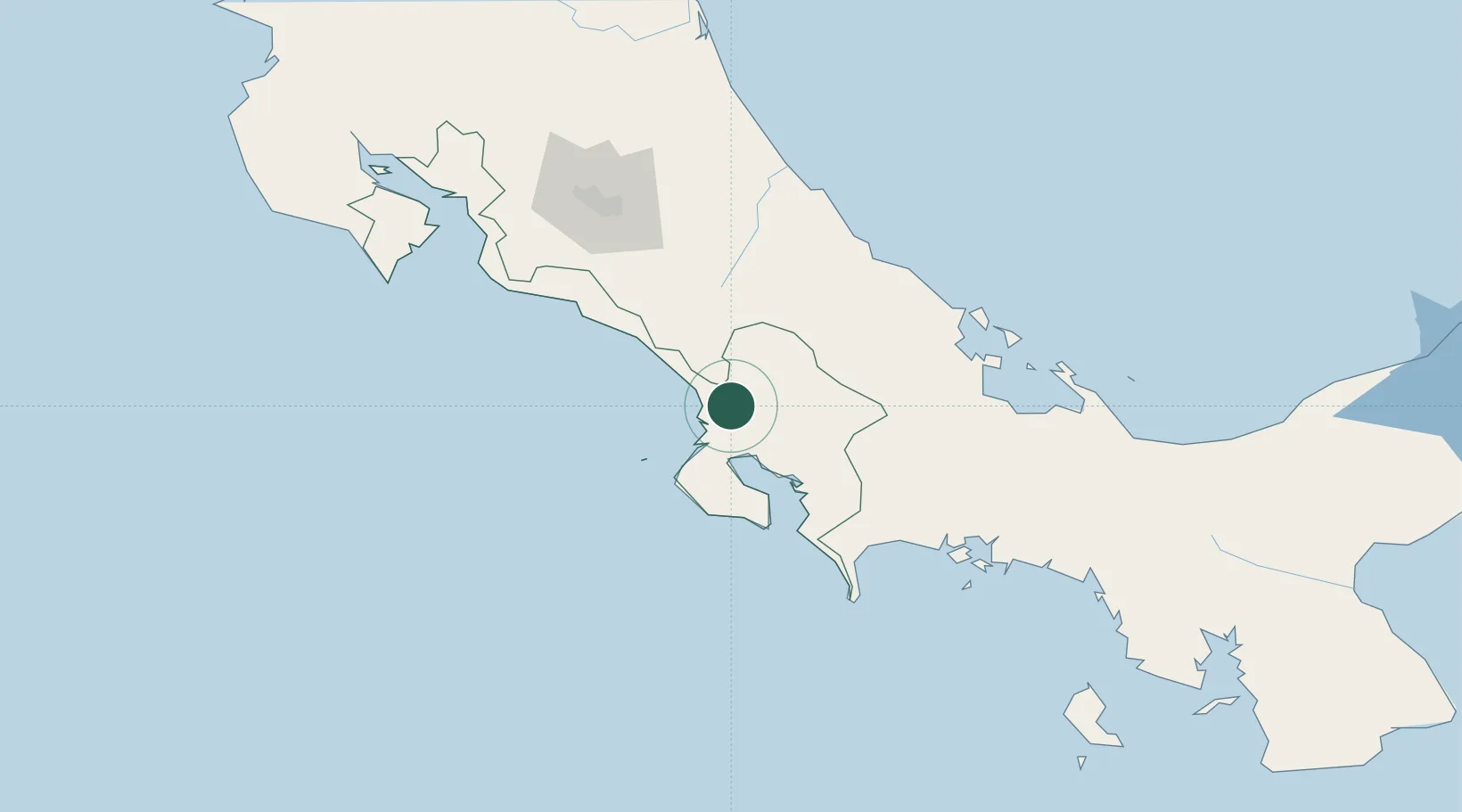
Place type
Populated place
Region
Puntarenas Province
Time zone
America/Costa_Rica
Elevation
32 m
Location
Nearby Logistics Neighbours
Ports
- 1Golfito50 km
- 2Puerto Quepos93 km
- 3Puerto Armuelles103 km
- 4Charco Azul106 km
- 5Puerto Moin122 km
Airports
- 1Palmar Sur Airport2 km
- 2Buenos Aires Airport27 km
- 3Golfito Airport47 km
- 4Puerto Jimenez Airport52 km
- 5Coto 47 Airport68 km
Trade Zones
DatabookThe Record of Consolidated Knowledge
Costa Rica beyond logistics?