Transport Functions
Port
Road
Airport
Hub Profile
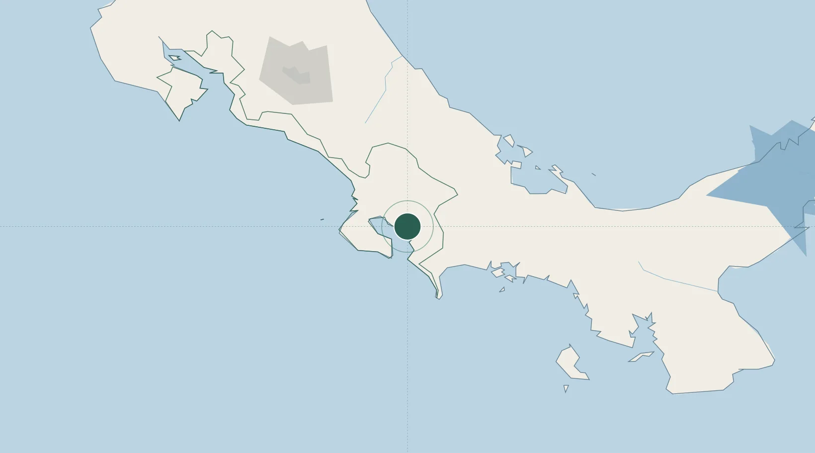
Place type
Provincial seat
Region
Puntarenas Province
Population
6,777
Time zone
America/Costa_Rica
Elevation
39 m
Location
Nearby Logistics Neighbours
Cities
- 1Neily24 km
- 2Laurel33 km
- 3Progreso41 km
- 4Palmar Norte50 km
- 5Bugaba62 km
Ports
- 1Puerto Armuelles54 km
- 2Charco Azul57 km
- 3Pedregal86 km
- 4Almirante110 km
- 5Chiriqui Grande118 km
Airports
- 1Golfito Airport4 km
- 2Coto 47 Airport21 km
- 3Puerto Jimenez Airport21 km
- 4Palmar Sur Airport48 km
- 5Buenos Aires Airport61 km
Trade Zones
DatabookThe Record of Consolidated Knowledge
Costa Rica beyond logistics?