Transport Functions
Port
Hub Profile
Place type
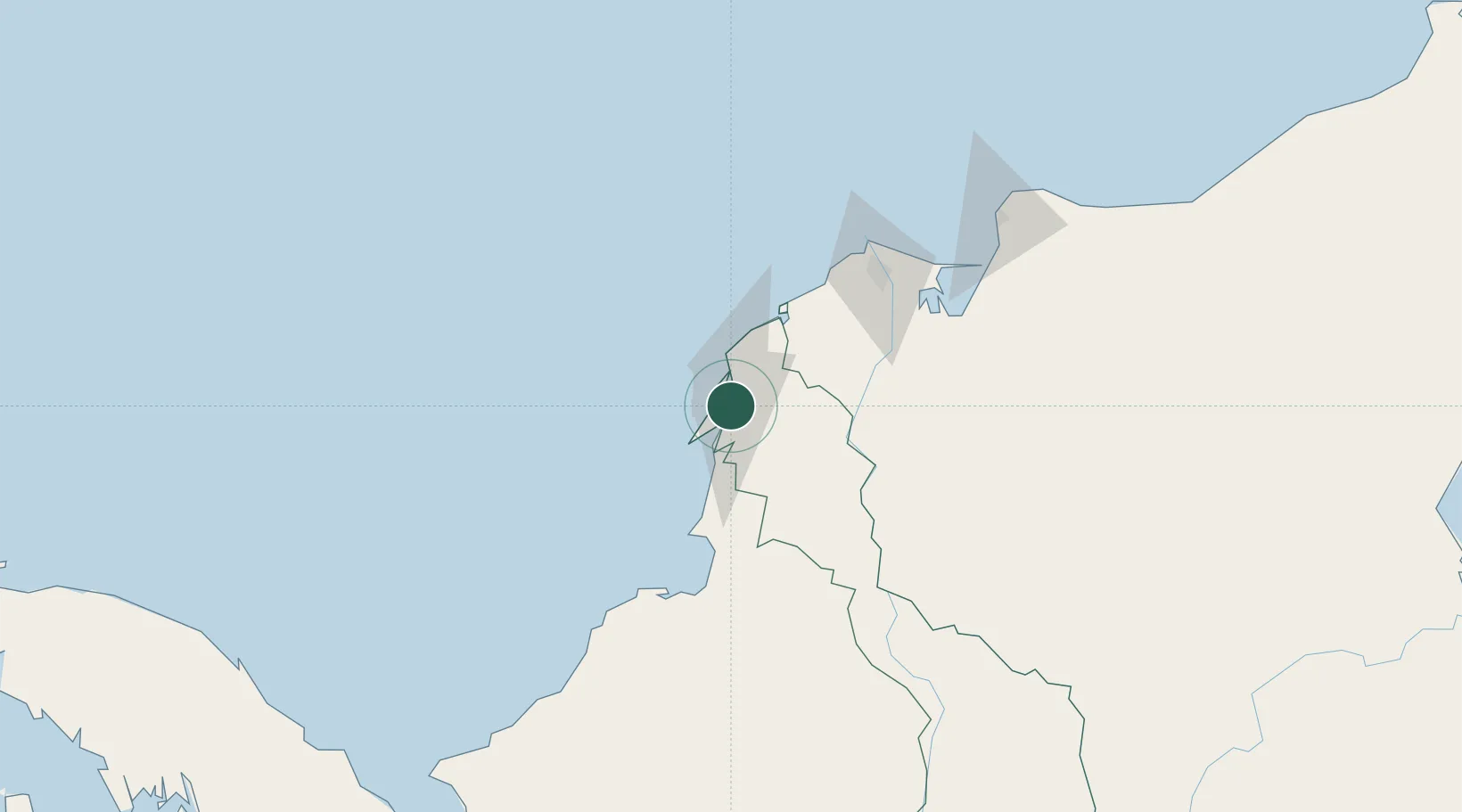
Populated place
Region
Bolívar
Time zone
America/Bogota
Elevation
6 m
Location
Nearby Logistics Neighbours
Cities
- 1Cartagena5 km
- 2Contecar8 km
- 3Sociedad Portuaria Regional Cartagena10 km
- 4Turbaco11 km
- 5El Carmen de Bolívar79 km
Ports
- 1El Bosque10 km
- 2Cartagena12 km
- 3Covenas Offshore Term.94 km
- 4Covenas102 km
- 5Barranquilla108 km
Airports
DatabookThe Record of Consolidated Knowledge
Colombia beyond logistics?