Export Processing Zone · China
Changli Economic Development Zone Active
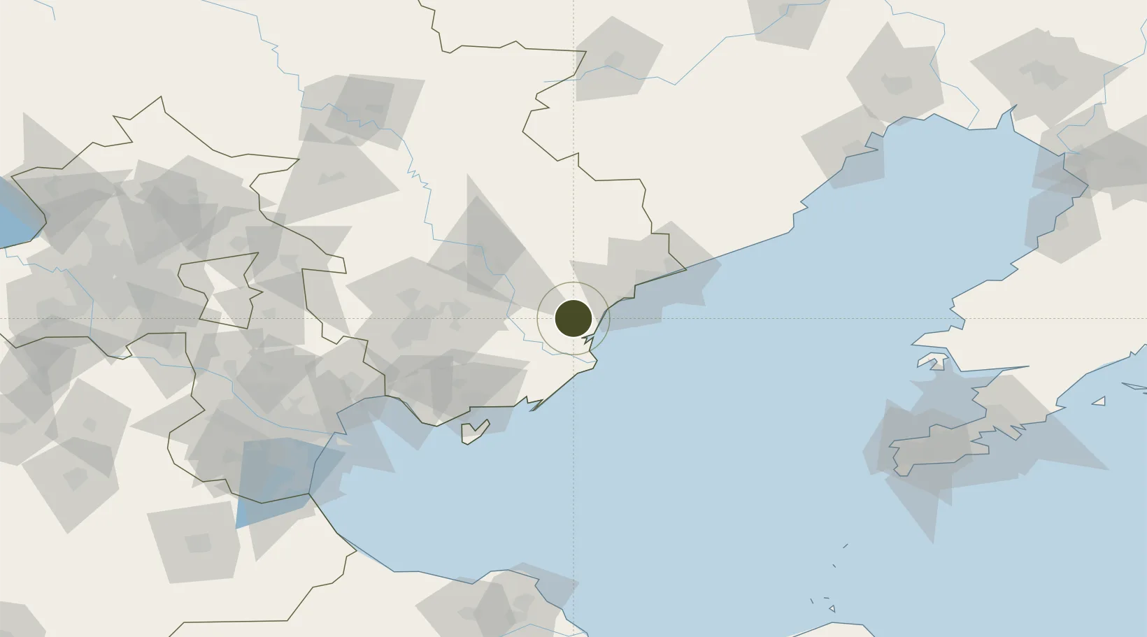
39.6898°, 119.1600°
500 ha
Zone area
47.5 km
Nearest port
8.8 km
Nearest airport
Gateway access
Zone profile
Zone type
Export Processing Zone
Region
Hebei
Status
Active
Management
Public
Operator
Working Committee of Changli Economic Development Zone
Legal framework
No. 10, Qin Zhenghan (1995). Planning of the Central North District of Changli County Gold Coast
Location
Nearby Logistics Neighbours
Ports
- 1Qinhuangdao48 km
- 2Tangshan (Jingtang)56 km
- 3Tianjin Xin Gang140 km
- 4Huludao Gang191 km
- 5Jinzhou Wan203 km
Airports
- 1Qinhuangdao Beidaihe Airport9 km
- 2Tangshan Sannühe Airport99 km
- 3Tangshan Zunhua Air Base118 km
- 4Suizhong Air Base123 km
- 5Pingquan Air Base141 km
Cities
- 1Qinhuangdao Pt50 km
- 2Tangshan Pt84 km
- 3Caofeidian Pt98 km
- 4Tianjin Xingang Pt142 km
- 5Binhai142 km
DatabookThe Record of Consolidated Knowledge
China beyond logistics?