UN/LOCODE hub · China
CNTGS

Tangshan Pt

39.6300°, 118.1800°
1
Transport functions

Transport Functions

Port
Tangshan Pt is also a profiled seaport →
UN/LOCODE

Hub Profile

Region
HE
GeoNames
Logistics facilities
2
UN/LOCODE

Location

Location of CNTGS
Natural Earth 10m (public domain) · HE · CNTGS · 39.63, 118.18GoogleOSMYandex

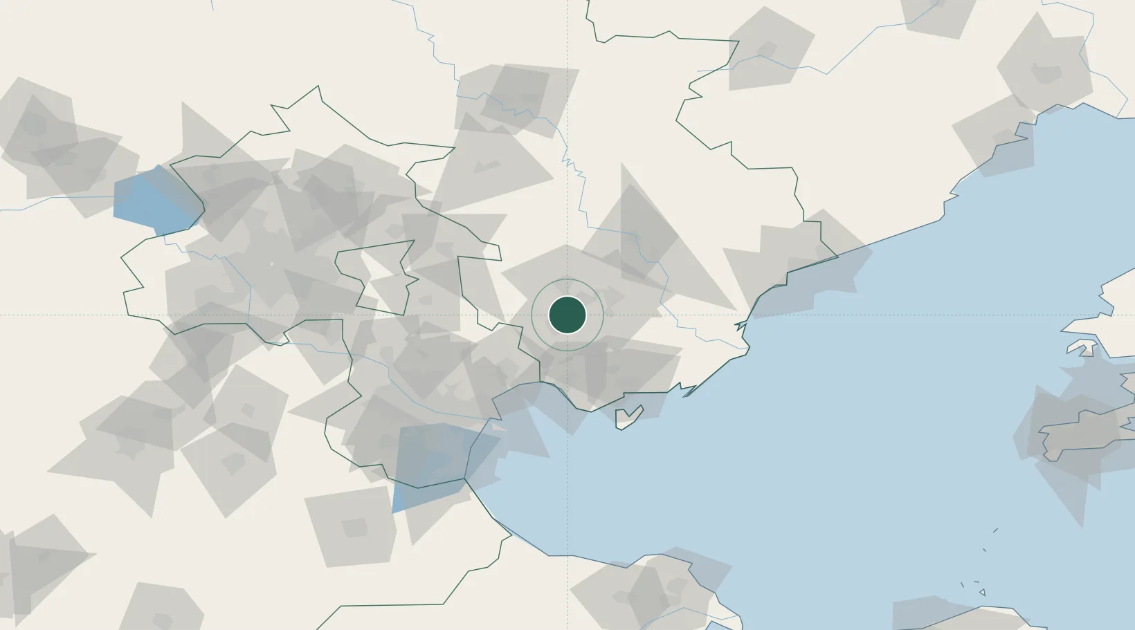
Nearby Logistics Neighbours

Cities
  1. 1Tianjin77 km
  2. 2Tianjin Xingang Pt77 km
  3. 3Binhai80 km
  4. 4Tianjin Pt81 km
  5. 5Caofeidian Pt82 km
Nearest neighbours — logibook spatial index (haversine) over the source coordinates
Ports
  1. 1Tianjin Xin Gang80 km
  2. 2Qinhuangdao127 km
  3. 3Huludao Gang266 km
  4. 4Jinzhou Wan278 km
  5. 5Lushun281 km
Nearest neighbours — logibook spatial index (haversine) over the source coordinates
Airports
  1. 1Tangshan Sannühe Airport18 km
  2. 2Tangshan Zunhua Air Base58 km
  3. 3Qinhuangdao Beidaihe Airport76 km
  4. 4Tianjin Binhai International Airport91 km
  5. 5Yangcun Air Base97 km
Nearest neighbours — logibook spatial index (haversine) over the source coordinates
Trade Zones
  1. 1Fengrun Economic Development Zone18 km
  2. 2Tangshan Guye Economic Development Zone28 km
  3. 3Tangshan Nanpu Economic Development Zone42 km
  4. 4Lutai Economic Development Zone46 km
  5. 5Luan County Economic Development Zone46 km
Nearest neighbours — logibook spatial index (haversine) over the source coordinates
DatabookThe Record of Consolidated Knowledge
China beyond logistics?
Browse databook

All Sources

LocationsUN/LOCODE
UN/LOCODE — free
Portsthe NGA World Port Index
Public domain (US gov)
AirportsOurAirports
Public domain
Trade Zonesthe World Bank SEZ database
CC BY 4.0
Trade ZonesOpen Zone Map
CC BY
← China locations