Transport Functions
Port
Hub Profile
Region
HE
Logistics facilities
5
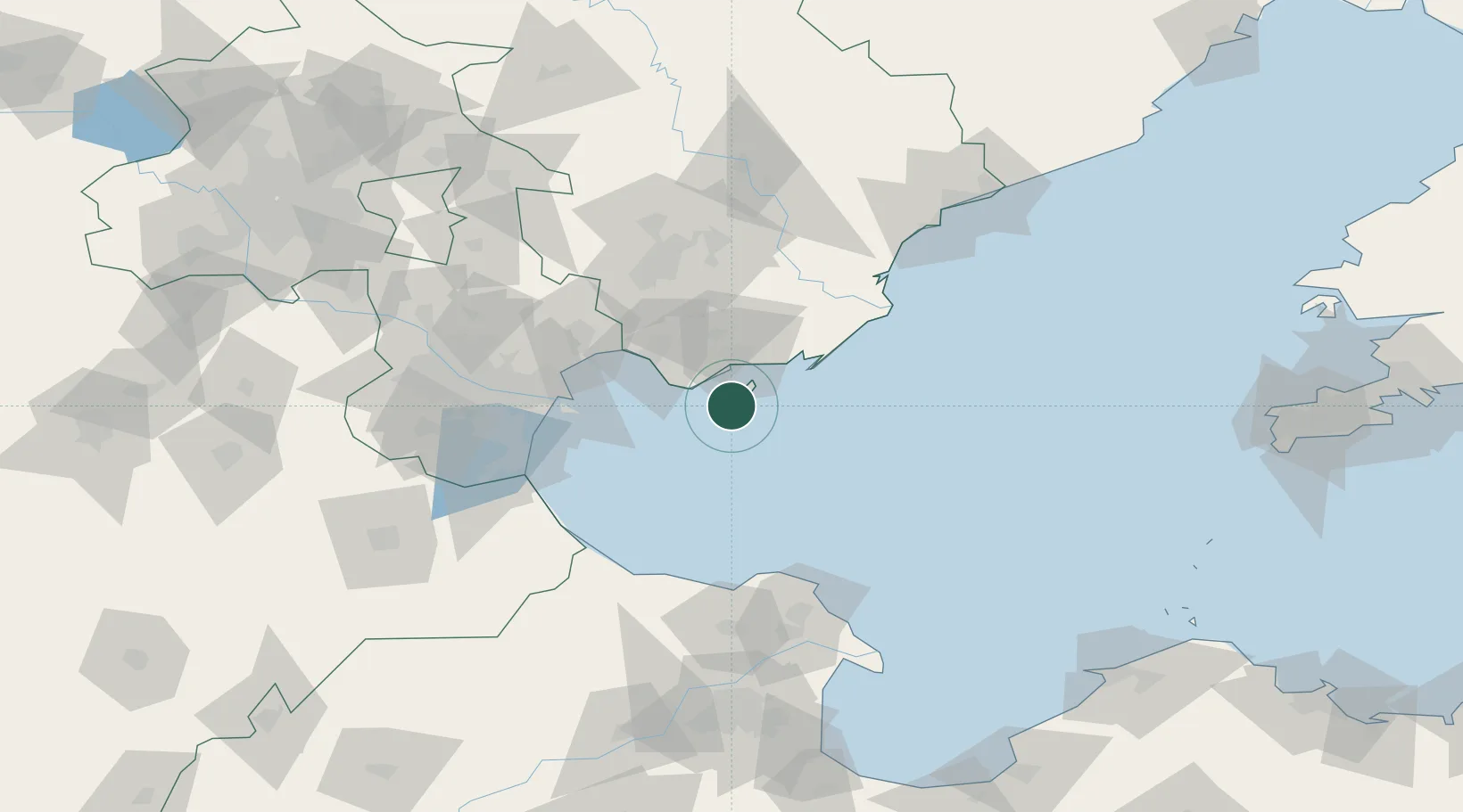
Location
Nearby Logistics Neighbours
Cities
- 1Bozhong56 km
- 2Binhai65 km
- 3Tianjin Xingang Pt68 km
- 4Tianjin Pt68 km
- 5Tianjin73 km
Ports
- 1Tangshan (Jingtang)50 km
- 2Tianjin Xin Gang61 km
- 3Qinhuangdao144 km
- 4Longkou Gang212 km
- 5Lushun236 km
Airports
- 1Qinhuangdao Beidaihe Airport92 km
- 2Tangshan Sannühe Airport97 km
- 3Tianjin Binhai International Airport104 km
- 4Tangguantun Air Base128 km
- 5Yangcun Air Base133 km
DatabookThe Record of Consolidated Knowledge
China beyond logistics?