Diversified Zone · China
Tangshan Seaport Economic Development Zone Active
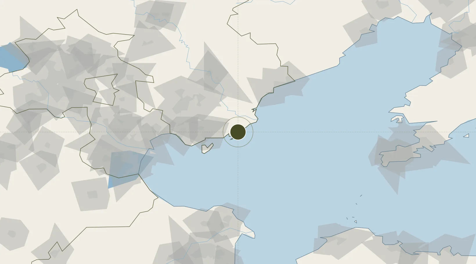
39.2380°, 119.0098°
3,285 ha
Zone area
4.3 km
Nearest port
47.8 km
Nearest airport
Gateway access
Zone profile
Zone type
Diversified Zone
Region
Hebei
Status
Active
Management
Public
Operator
Management Committee of Tangshan Seaport Economic Development Zone
Legal framework
Tangshan Seaport Economic Development Zone in Hebei province was approved by the People's government of Hebei Province in June 1993
Location
Nearby Logistics Neighbours
Ports
- 1Tangshan (Jingtang)4 km
- 2Qinhuangdao93 km
- 3Tianjin Xin Gang106 km
- 4Lushun200 km
- 5Longkou Gang210 km
Airports
- 1Qinhuangdao Beidaihe Airport48 km
- 2Tangshan Sannühe Airport102 km
- 3Tangshan Zunhua Air Base136 km
- 4Tianjin Binhai International Airport144 km
- 5Suizhong Air Base165 km
Cities
- 1Caofeidian Pt52 km
- 2Tangshan Pt84 km
- 3Qinhuangdao Pt95 km
- 4Bozhong101 km
- 5Binhai110 km
DatabookThe Record of Consolidated Knowledge
China beyond logistics?