Medium airport · China
Qinhuangdao Beidaihe AirportZBDH
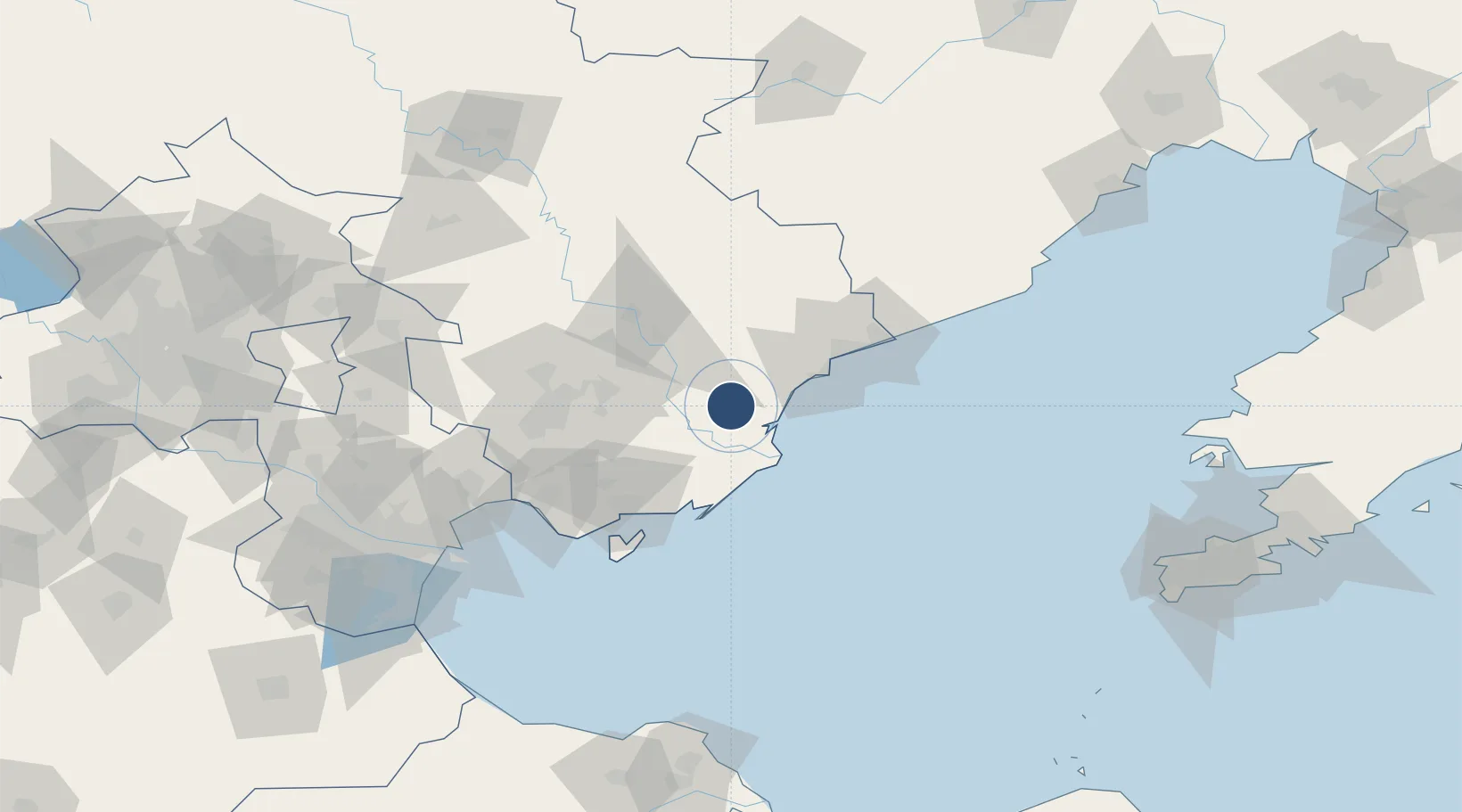
39.6664°, 119.0614°
8,530 ft
Longest runway
1
Runways
46 ft
Elevation
Runway & Layout

Runways · 1
| Runway | Dimensions | Surface | True heading | Lit |
|---|---|---|---|---|
| 08/26 | 8,530 × —ft | Concrete | — | — |
Airport Specifications
IATA code
BPE
ICAO code
ZBDH
Airport class
Medium airport
Scheduled service
Yes
Runway surface
Concrete
Served city
Qinhuangdao (Changli)
Location
Nearby Logistics Neighbours
Airports
- 1Tangshan Sannühe Airport91 km
- 2Tangshan Zunhua Air Base111 km
- 3Suizhong Air Base131 km
- 4Pingquan Air Base141 km
- 5Tianjin Binhai International Airport159 km
Cities
- 1Qinhuangdao Pt59 km
- 2Tangshan Pt76 km
- 3Caofeidian Pt92 km
- 4Tianjin Xingang Pt133 km
- 5Binhai134 km
Ports
- 1Tangshan (Jingtang)52 km
- 2Qinhuangdao56 km
- 3Tianjin Xin Gang131 km
- 4Huludao Gang200 km
- 5Jinzhou Wan211 km
DatabookThe Record of Consolidated Knowledge
China beyond logistics?