Channel & Berth Profile
Pilotage, Tugs & Services
Pilotage compulsoryYES
Pilotage availableYES
Pilotage advisableYES
Tug assistanceYES
Potable waterYES
Facilities & Capabilities
Container—
Ro-Ro—
Liquid bulk—
Dry bulk—
Oil terminal—
Break bulk—
Dry dock—
RepairsNO
BunkeringYES
Rail linkYES
Dangerous cargo—
ISPS security—
Harbour Specifications
Harbour size
Very Small
Harbour type
Coastal (Breakwater)
Shelter
Fair
Water body
Yellow Sea; North Pacific Ocean
Tidal range
5 m
Pilotage
Yes
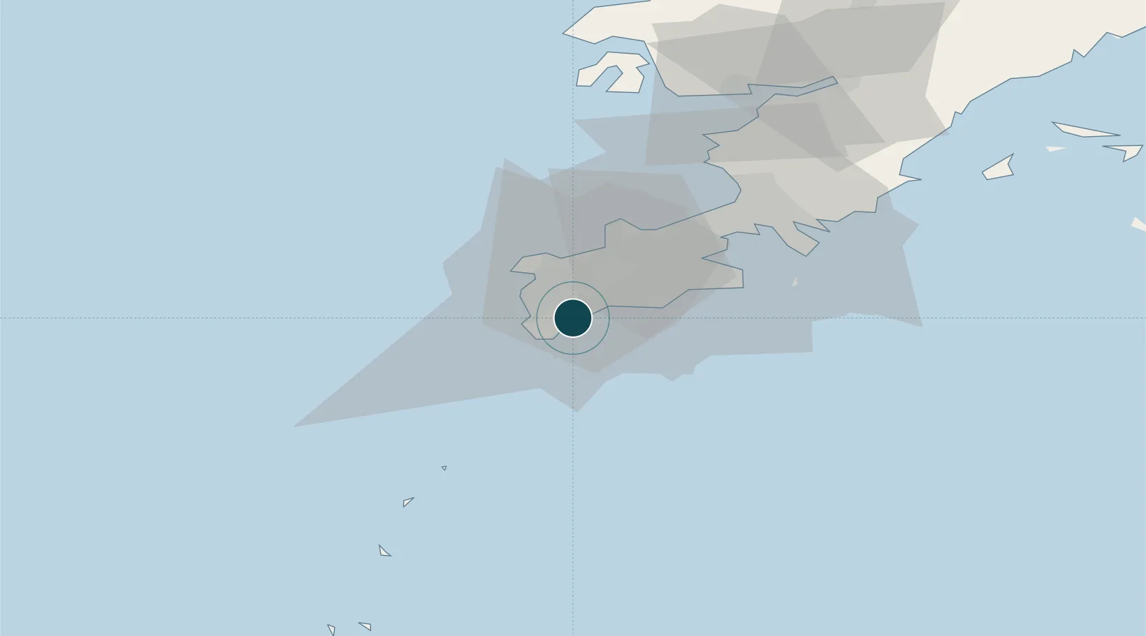
Location
Nearby Logistics Neighbours
Ports
- 1Dalian39 km
- 2Penglai114 km
- 3Yantai138 km
- 4Longkou Gang153 km
- 5Weihai161 km
Cities
- 1Dashihuagang33 km
- 2Dalian60 km
- 3Penglai Pt118 km
- 4Sikuaishi127 km
- 5Songshu135 km
Airports
- 1Tuchengzi Air Base14 km
- 2Dalian Zhoushuizi International Airport32 km
- 3Sanshilipu Air Base72 km
- 4Pulandian Air Base100 km
- 5Laohutun Air Base108 km
Trade Zones
DatabookThe Record of Consolidated Knowledge
China beyond logistics?