UN/LOCODE hub · Equatorial Guinea
GQSSG
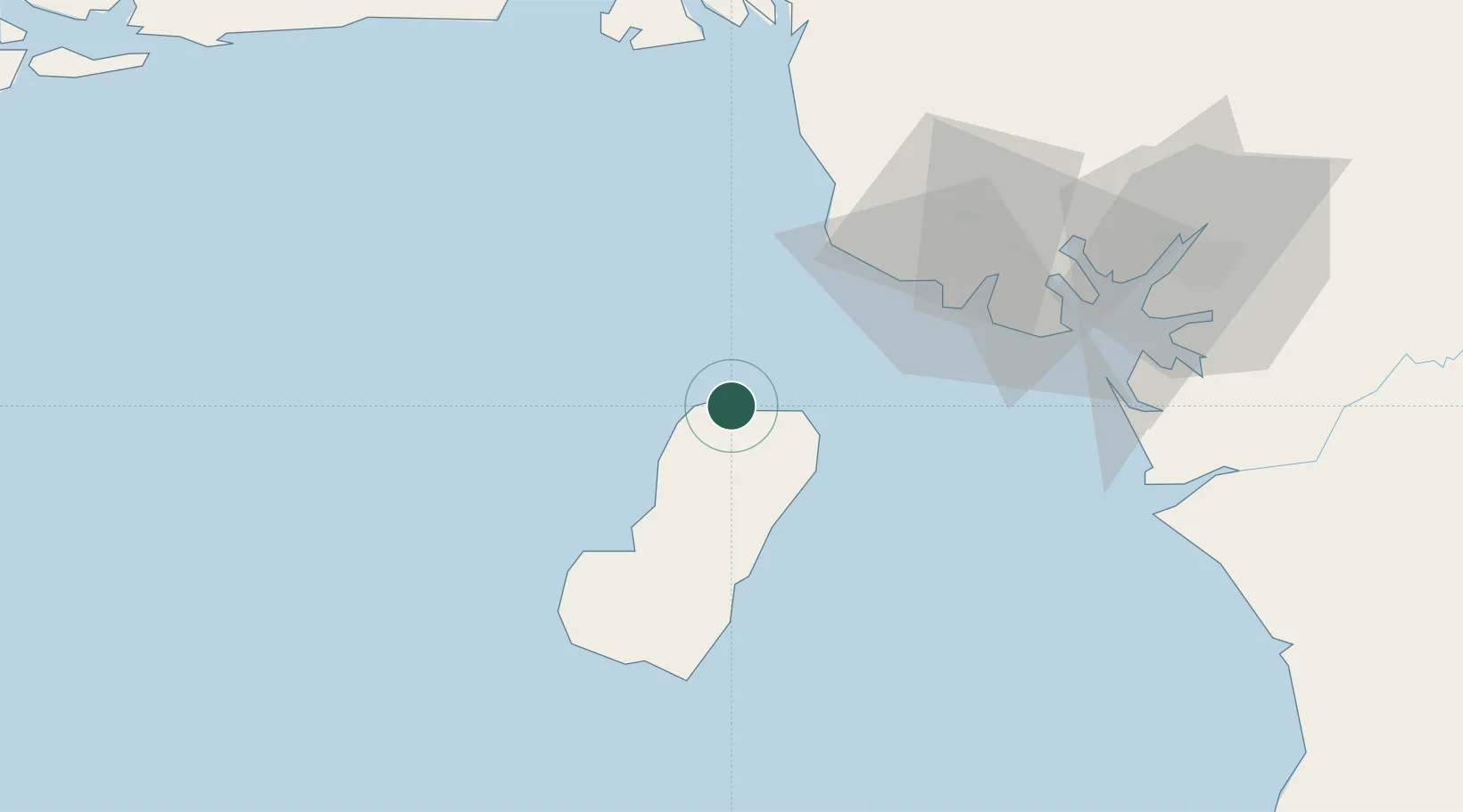
Malabo
3.7611°, 8.7778°
155,963
Population
2
Transport functions
1
Container terminals
Transport Functions
Port
Airport
Hub Profile
Place type
Regional capital
Region
Bioko Norte
Population
155,963
Time zone
Africa/Malabo
Elevation
34 m
Logistics facilities
1
Container terminals
1
Location
Nearby Logistics Neighbours
Cities
- 1Punta Europa Terminal7 km
- 2Moudi Terminal51 km
- 3Limbe56 km
- 4Zafiro Terminal69 km
- 5Antan72 km
Ports
- 1Punta Europa Terminal7 km
- 2Luba37 km
- 3Limboh Terminal48 km
- 4Moudi Marine Terminal51 km
- 5Kole Oil Terminal60 km
Airports
Trade Zones
- 1K5 Oil Centre4 km
- 2Luba Freeport40 km
- 3Ibom Industrial City Free Zone105 km
- 4Bonaberi-Douala Industrial Zone106 km
- 5Bassa-Douala Industrial Zone112 km
DatabookThe Record of Consolidated Knowledge
Equatorial Guinea beyond logistics?