Transport Functions
Rail
Road
Airport
Hub Profile
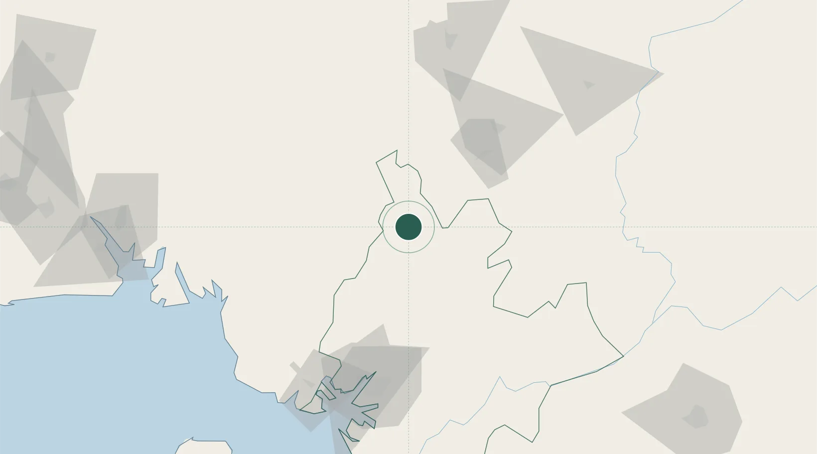
Place type
Populated place
Region
Littoral
Population
162,309
Time zone
Africa/Douala
Elevation
844 m
Location
Nearby Logistics Neighbours
Ports
- 1Douala102 km
- 2Limboh Terminal137 km
- 3Kole Oil Terminal171 km
- 4Calabar179 km
- 5Malabo183 km
Airports
- 1Bafoussam Airport82 km
- 2Douala International Airport106 km
- 3Tiko Airport113 km
- 4Foumban Nkounja Airport120 km
- 5Bamenda Airport125 km
Trade Zones
- 1Banengo Industrial Zone78 km
- 2Bonaberi-Douala Industrial Zone100 km
- 3Bassa-Douala Industrial Zone102 km
- 4Calabar Free Trade Zone178 km
- 5Tinapa Free Zone & Resort179 km
DatabookThe Record of Consolidated Knowledge
Cameroon beyond logistics?