Transport Functions
Port
Multimodal
Hub Profile
Place type
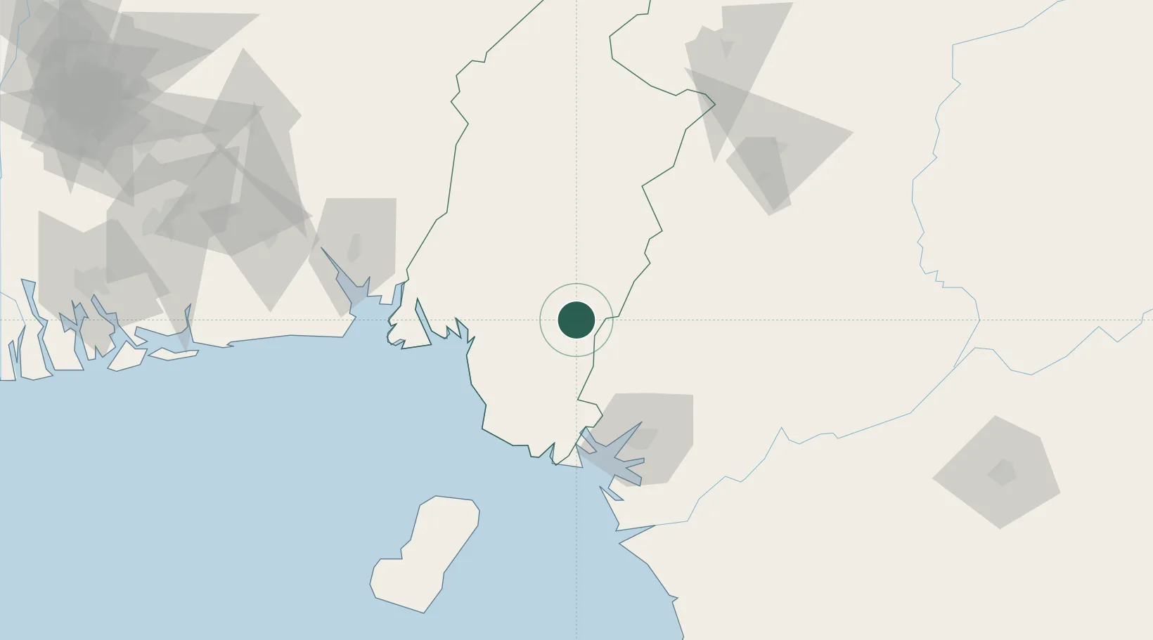
Populated place
Region
South-West
Population
225,046
Time zone
Africa/Douala
Elevation
244 m
Location
Nearby Logistics Neighbours
Cities
- 1Nkongsamba65 km
- 2Douala72 km
- 3Limbe73 km
- 4Moudi Terminal120 km
- 5Malabo121 km
Ports
- 1Douala71 km
- 2Limboh Terminal79 km
- 3Kole Oil Terminal107 km
- 4Moudi Marine Terminal120 km
- 5Malabo122 km
Airports
- 1Tiko Airport61 km
- 2Douala International Airport77 km
- 3Margaret Ekpo International Airport126 km
- 4Malabo International Airport127 km
- 5Bafoussam Airport143 km
Trade Zones
- 1Bonaberi-Douala Industrial Zone69 km
- 2Bassa-Douala Industrial Zone75 km
- 3K5 Oil Centre124 km
- 4Calabar Free Trade Zone130 km
- 5Ibom Industrial City Free Zone131 km
DatabookThe Record of Consolidated Knowledge
Cameroon beyond logistics?