Transport Functions
Port
Rail
Road
Hub Profile
Place type
Populated place
Region
South-West
Population
131,381
Time zone
Africa/Douala
Elevation
74 m
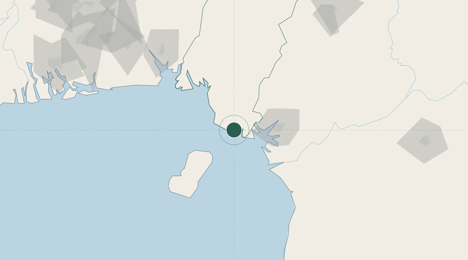
Location
Nearby Logistics Neighbours
Cities
- 1Douala52 km
- 2Malabo56 km
- 3Punta Europa Terminal61 km
- 4Kumba73 km
- 5Moudi Terminal82 km
Ports
- 1Limboh Terminal8 km
- 2Douala52 km
- 3Malabo57 km
- 4Punta Europa Terminal61 km
- 5Kole Oil Terminal78 km
Airports
Trade Zones
- 1Bonaberi-Douala Industrial Zone52 km
- 2Bassa-Douala Industrial Zone59 km
- 3K5 Oil Centre60 km
- 4Luba Freeport95 km
- 5Ibom Industrial City Free Zone122 km
DatabookThe Record of Consolidated Knowledge
Cameroon beyond logistics?