Channel & Berth Profile
Pilotage, Tugs & Services
Pilotage compulsoryYES
Pilotage availableYES
Pilotage advisableYES
Local assistanceYES
Tug assistanceYES
Salvage tugsYES
Potable waterNO
MedicalYES
Garbage disposalNO
Facilities & Capabilities
Container—
Ro-Ro—
Liquid bulk—
Dry bulk—
Oil terminal—
Break bulk—
Dry dock—
Repairs—
BunkeringNO
Rail link—
Dangerous cargo—
ISPS security—
Harbour Specifications
Harbour size
Very Small
Harbour type
Open Roadstead
Shelter
Poor
Water body
Gulf of Guinea; North Atlantic Ocean
Pilotage
Yes
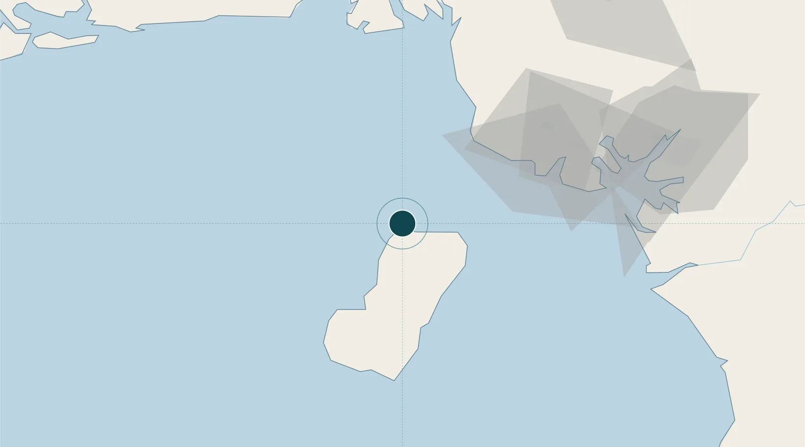
Location
Nearby Logistics Neighbours
Ports
- 1Malabo8 km
- 2Luba36 km
- 3Moudi Marine Terminal45 km
- 4Limboh Terminal53 km
- 5Kole Oil Terminal55 km
Cities
- 1Malabo7 km
- 2Moudi Terminal45 km
- 3Limbe61 km
- 4Zafiro Terminal62 km
- 5Antan66 km
Airports
Trade Zones
- 1K5 Oil Centre4 km
- 2Luba Freeport39 km
- 3Ibom Industrial City Free Zone99 km
- 4Bonaberi-Douala Industrial Zone112 km
- 5Bassa-Douala Industrial Zone118 km
DatabookThe Record of Consolidated Knowledge
Equatorial Guinea beyond logistics?