Medium airport · Cameroon
Bafoussam AirportFKKU
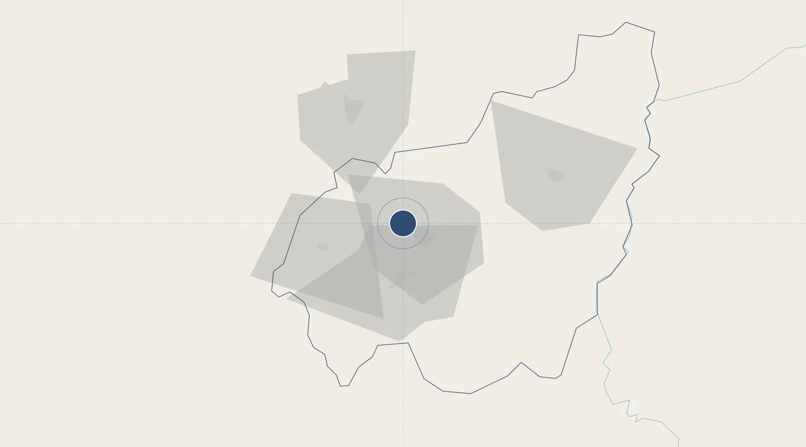
5.5369°, 10.3546°
8,203 ft
Longest runway
1
Runways
4,347 ft
Elevation
Runway & Layout

Radio Frequencies
AFIS
118.5 MHz
AFIS RDO
Navaids
BF VOR-DME Bafoussam 116.50 MHz
BO NDB Bafoussam 266 kHz
Runways · 1
| Runway | Dimensions | Surface | True heading | Lit |
|---|---|---|---|---|
| 15/33 | 8,203 × 148ft | Asphalt | 147° | ✓ |
Airport Specifications
IATA code
BFX
ICAO code
FKKU
Airport class
Medium airport
Scheduled service
No
Runway surface
Asphalt
Served city
Bafoussam
Location
Nearby Logistics Neighbours
Airports
- 1Foumban Nkounja Airport45 km
- 2Bamenda Airport62 km
- 3Douala International Airport184 km
- 4Tiko Airport195 km
- 5Yaoundé Ville Airport229 km
Cities
- 1Nkongsamba82 km
- 2Kumba143 km
- 3Douala183 km
- 4Edéa199 km
- 5Nyanya200 km
Ports
- 1Douala181 km
- 2Limboh Terminal218 km
- 3Calabar234 km
- 4Kole Oil Terminal246 km
- 5Moudi Marine Terminal261 km
Trade Zones
- 1Banengo Industrial Zone10 km
- 2Bonaberi-Douala Industrial Zone180 km
- 3Bassa-Douala Industrial Zone180 km
- 4Nsam-Mvan Industrial Zone231 km
- 5Tinapa Free Zone & Resort232 km
DatabookThe Record of Consolidated Knowledge
Cameroon beyond logistics?