UN/LOCODE hub · Chile
CLBAR

Barquito

-26.3500°, -70.6333°
1
Transport functions

Transport Functions

Port
UN/LOCODE

Hub Profile

Region
AT
GeoNames

Location

Location of CLBAR
Natural Earth 10m (public domain) · AT · CLBAR · -26.35, -70.63GoogleOSMYandex

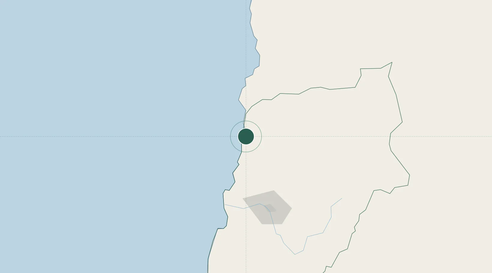
Nearby Logistics Neighbours

Cities
  1. 1Chañaral2 km
  2. 2Caldera78 km
  3. 3Calderilla84 km
  4. 4Taltal107 km
  5. 5Copiapó115 km
Nearest neighbours — logibook spatial index (haversine) over the source coordinates
Ports
  1. 1Puerto Chanaral2 km
  2. 2Puerto Caldera80 km
  3. 3Puerto Calderilla85 km
  4. 4Taltal107 km
  5. 5Huasco243 km
Nearest neighbours — logibook spatial index (haversine) over the source coordinates
Airports
  1. 1Chañaral Airport3 km
  2. 2Ricardo García Posada Airport87 km
  3. 3Las Breas Airport91 km
  4. 4Desierto de Atacama Airport102 km
  5. 5Vallenar Airport250 km
Nearest neighbours — logibook spatial index (haversine) over the source coordinates
Trade Zones
  1. 1Zona Franca Tucuman Free Trade Zone546 km
  2. 2Zona Franca de Salta591 km
  3. 3Iquique Free Trade Zone685 km
  4. 4Zona Franca Mendoza Free Trade Zone763 km
  5. 5Córdoba Free Trade Zone834 km
Nearest neighbours — logibook spatial index (haversine) over the source coordinates
DatabookThe Record of Consolidated Knowledge
Chile beyond logistics?
Browse databook

All Sources

LocationsUN/LOCODE
UN/LOCODE — free
Portsthe NGA World Port Index
Public domain (US gov)
AirportsOurAirports
Public domain
Trade Zonesthe World Bank SEZ database
CC BY 4.0
Trade ZonesOpen Zone Map
CC BY
← Chile locations