Medium airport · Chile
Ricardo García Posada AirportSCES
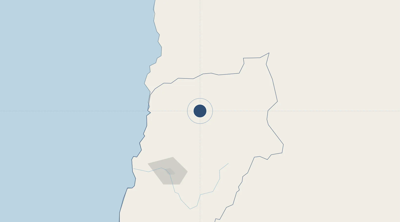
-26.3111°, -69.7652°
7,546 ft
Longest runway
1
Runways
5,240 ft
Elevation
Runway & Layout

Radio Frequencies
AFIS
118.2 MHz
Runways · 1
| Runway | Dimensions | Surface | True heading | Lit |
|---|---|---|---|---|
| 09/27 | 7,546 × 98ft | Asphalt | 089° | ✓ |
Airport Specifications
IATA code
ESR
ICAO code
SCES
Airport class
Medium airport
Scheduled service
Yes
Runway surface
Asphalt
Served city
El Salvador
Location
Nearby Logistics Neighbours
Airports
- 1Chañaral Airport84 km
- 2Las Breas Airport103 km
- 3Desierto de Atacama Airport146 km
- 4Vallenar Airport272 km
- 5Andrés Sabella Gálvez International Airport326 km
Ports
- 1Puerto Chanaral88 km
- 2Taltal124 km
- 3Puerto Caldera134 km
- 4Puerto Calderilla139 km
- 5Huasco281 km
Trade Zones
- 1Zona Franca Tucuman Free Trade Zone461 km
- 2Zona Franca de Salta507 km
- 3Iquique Free Trade Zone680 km
- 4Zona Franca Mendoza Free Trade Zone755 km
- 5Córdoba Free Trade Zone776 km
DatabookThe Record of Consolidated Knowledge
Chile beyond logistics?