Transport Functions
Port
Airport
Hub Profile
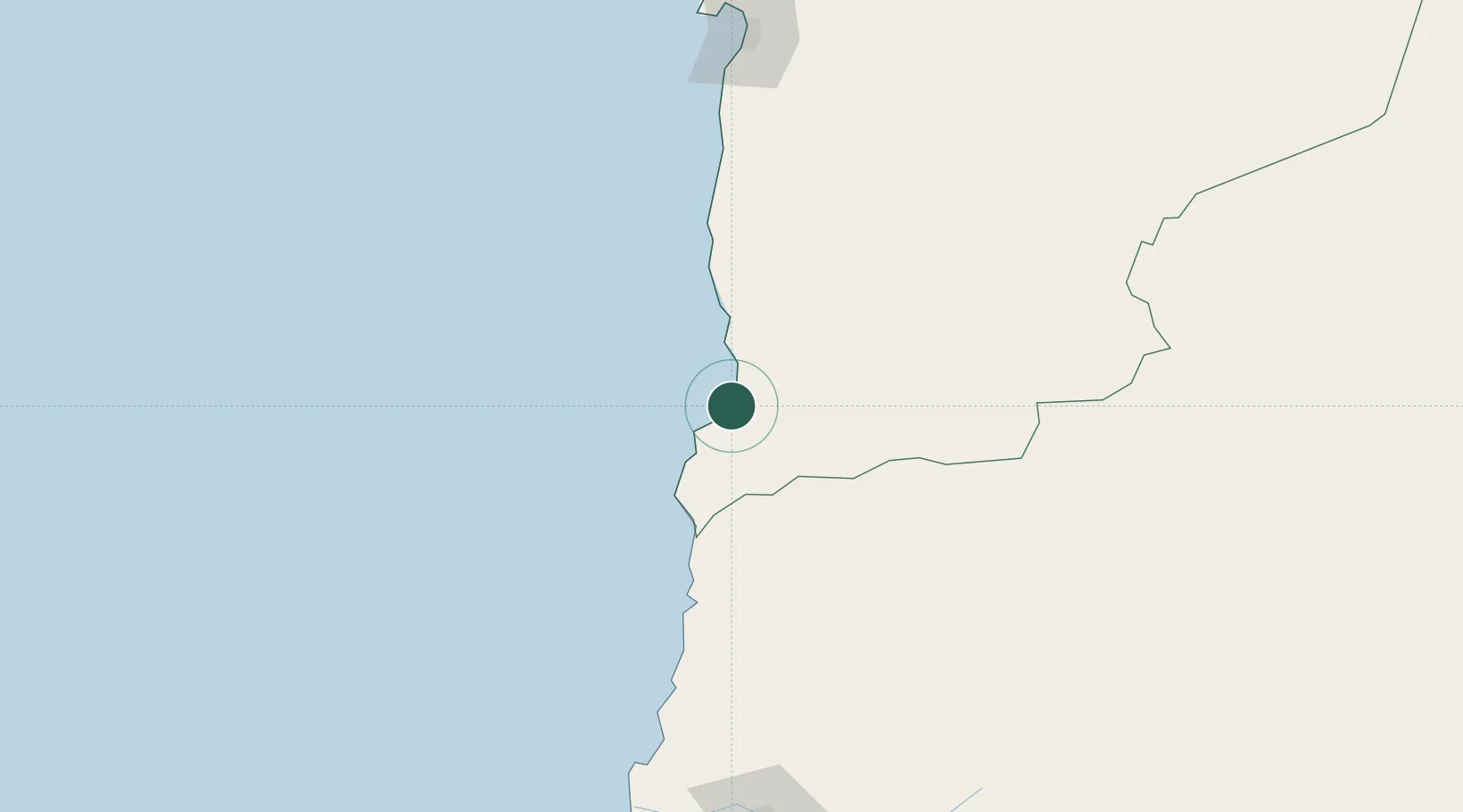
Place type
Populated place
Region
Antofagasta
Population
11,132
Time zone
America/Santiago
Elevation
15 m
Location
Nearby Logistics Neighbours
Cities
- 1Los Vientos106 km
- 2Chañaral107 km
- 3Barquito107 km
- 4Caleta Coloso184 km
- 5Caldera185 km
Ports
- 1Puerto Chanaral107 km
- 2Puerto Caldera187 km
- 3Puerto Calderilla191 km
- 4Antofagasta195 km
- 5Mejillones256 km
Airports
- 1Las Breas Airport20 km
- 2Chañaral Airport105 km
- 3Ricardo García Posada Airport123 km
- 4Desierto de Atacama Airport209 km
- 5Andrés Sabella Gálvez International Airport217 km
Trade Zones
- 1Zona Franca de Salta553 km
- 2Zona Franca Tucuman Free Trade Zone554 km
- 3Iquique Free Trade Zone579 km
- 4Arica Free Trade Zone783 km
- 5Chacalluta Arica Industrial Park783 km
DatabookThe Record of Consolidated Knowledge
Chile beyond logistics?