Transport Functions
Port
Hub Profile
Region
AN
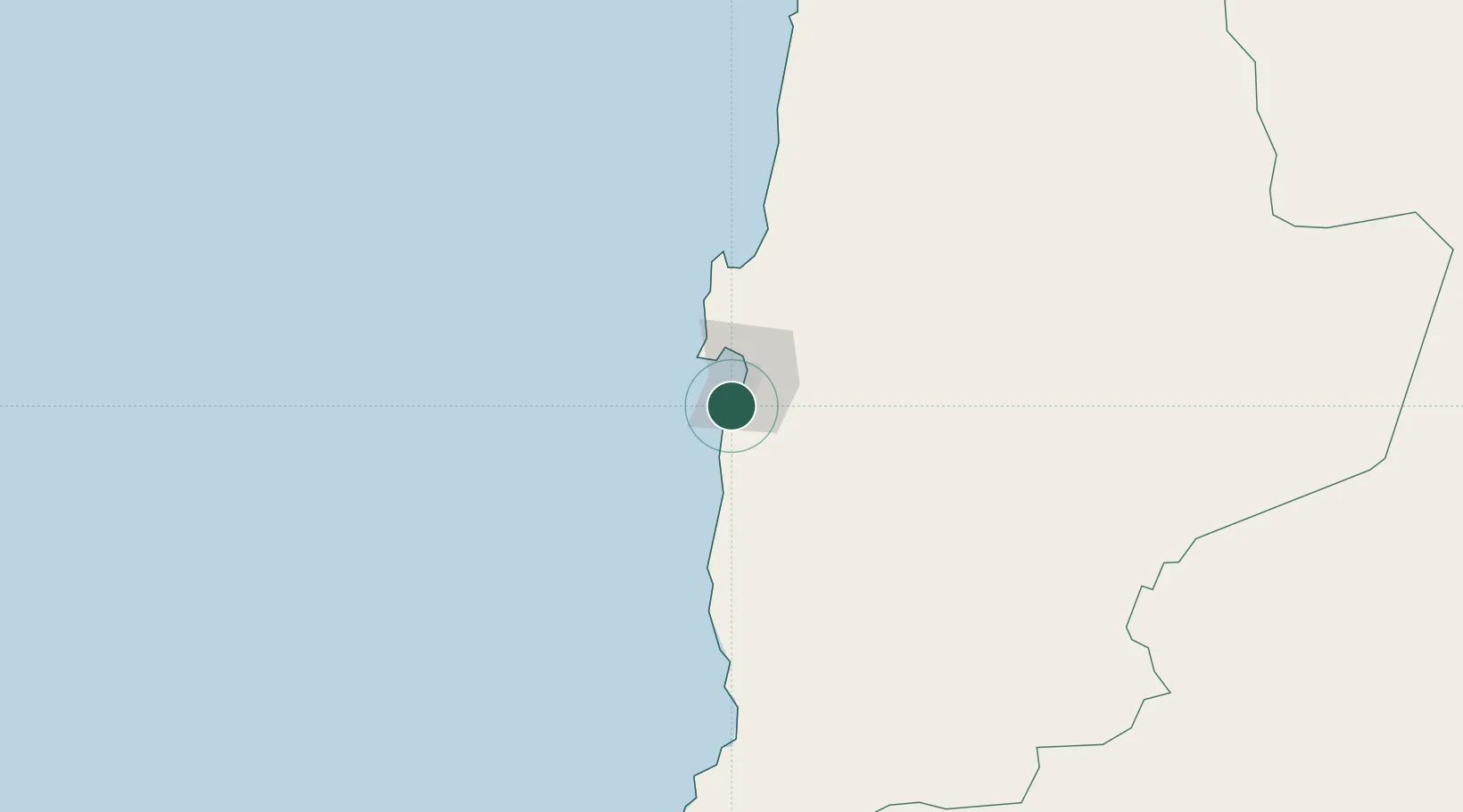
Location
Nearby Logistics Neighbours
Cities
- 1Antofagasta12 km
- 2Mejillones72 km
- 3Puerto Angamos73 km
- 4Michilla115 km
- 5Los Vientos126 km
Ports
- 1Antofagasta12 km
- 2Mejillones72 km
- 3Taltal184 km
- 4Tocopilla187 km
- 5Puerto Chanaral290 km
Airports
- 1Andrés Sabella Gálvez International Airport34 km
- 2Barriles Airport184 km
- 3Las Breas Airport202 km
- 4El Loa Airport212 km
- 5Chañaral Airport288 km
Trade Zones
DatabookThe Record of Consolidated Knowledge
Chile beyond logistics?