Transport Functions
Port
Rail
Road
Hub Profile
Region
AN
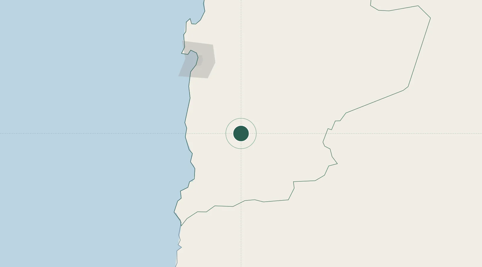
Location
Nearby Logistics Neighbours
Cities
- 1Taltal106 km
- 2Caleta Coloso126 km
- 3Antofagasta128 km
- 4Puerto Angamos188 km
- 5Mejillones189 km
Ports
- 1Taltal108 km
- 2Antofagasta133 km
- 3Mejillones190 km
- 4Puerto Chanaral205 km
- 5Puerto Caldera284 km
Airports
- 1Las Breas Airport116 km
- 2Andrés Sabella Gálvez International Airport154 km
- 3Ricardo García Posada Airport181 km
- 4Chañaral Airport202 km
- 5El Loa Airport258 km
Trade Zones
- 1Zona Franca de Salta478 km
- 2Iquique Free Trade Zone500 km
- 3Zona Franca Tucuman Free Trade Zone521 km
- 4Arica Free Trade Zone706 km
- 5Chacalluta Arica Industrial Park706 km
DatabookThe Record of Consolidated Knowledge
Chile beyond logistics?