Transport Functions
Port
Hub Profile
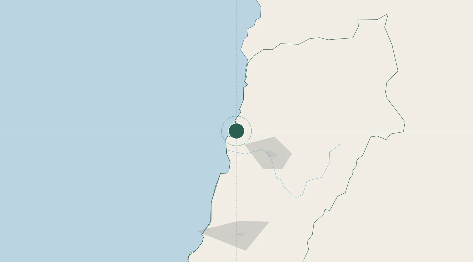
Place type
Populated place
Region
Atacama
Population
16,150
Time zone
America/Santiago
Elevation
23 m
Location
Nearby Logistics Neighbours
Cities
- 1Calderilla7 km
- 2Copiapó58 km
- 3Tierra Amarilla72 km
- 4Barquito78 km
- 5Chañaral78 km
Ports
- 1Puerto Calderilla9 km
- 2Puerto Chanaral77 km
- 3Huasco165 km
- 4Taltal184 km
- 5Coquimbo329 km
Airports
- 1Desierto de Atacama Airport25 km
- 2Chañaral Airport80 km
- 3Ricardo García Posada Airport131 km
- 4Las Breas Airport169 km
- 5Vallenar Airport174 km
Trade Zones
- 1Zona Franca Tucuman Free Trade Zone559 km
- 2Zona Franca de Salta632 km
- 3Zona Franca Mendoza Free Trade Zone693 km
- 4Iquique Free Trade Zone763 km
- 5Córdoba Free Trade Zone798 km
DatabookThe Record of Consolidated Knowledge
Chile beyond logistics?