Transport Functions
Port
Rail
Road
Airport
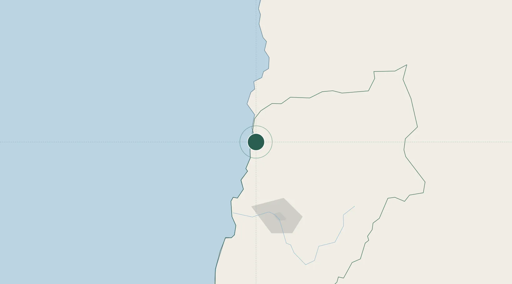
Hub Profile
Place type
Provincial seat
Region
Atacama
Time zone
America/Santiago
Elevation
25 m
Location
Nearby Logistics Neighbours
Cities
- 1Barquito2 km
- 2Caldera78 km
- 3Calderilla85 km
- 4Taltal107 km
- 5Copiapó115 km
Ports
- 1Puerto Caldera81 km
- 2Puerto Calderilla85 km
- 3Taltal107 km
- 4Huasco244 km
- 5Antofagasta301 km
Airports
- 1Chañaral Airport2 km
- 2Ricardo García Posada Airport85 km
- 3Las Breas Airport91 km
- 4Desierto de Atacama Airport103 km
- 5Vallenar Airport250 km
Trade Zones
- 1Zona Franca Tucuman Free Trade Zone545 km
- 2Zona Franca de Salta589 km
- 3Iquique Free Trade Zone685 km
- 4Zona Franca Mendoza Free Trade Zone763 km
- 5Córdoba Free Trade Zone833 km
DatabookThe Record of Consolidated Knowledge
Chile beyond logistics?