Medium airport · Chile
Las Breas AirportSCTT
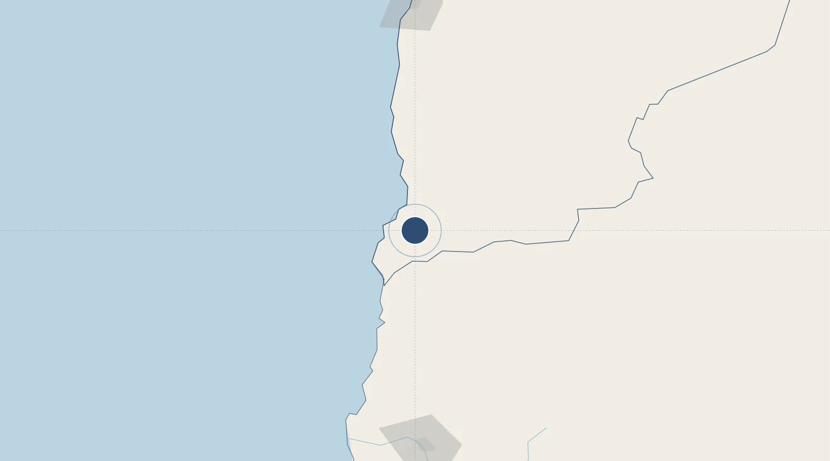
-25.5643°, -70.3759°
3,920 ft
Longest runway
1
Runways
2,580 ft
Elevation
Runway & Layout

Runways · 1
| Runway | Dimensions | Surface | True heading | Lit |
|---|---|---|---|---|
| 15/33 | 3,920 × 66ft | Asphalt | 157° | — |
Airport Specifications
IATA code
TTC
ICAO code
SCTT
Airport class
Medium airport
Scheduled service
No
Runway surface
Asphalt
Served city
Taltal
Location
Nearby Logistics Neighbours
Airports
- 1Chañaral Airport89 km
- 2Ricardo García Posada Airport103 km
- 3Desierto de Atacama Airport193 km
- 4Andrés Sabella Gálvez International Airport236 km
- 5Vallenar Airport339 km
Cities
- 1Taltal20 km
- 2Chañaral91 km
- 3Barquito91 km
- 4Los Vientos116 km
- 5Caldera169 km
Ports
- 1Taltal21 km
- 2Puerto Chanaral92 km
- 3Puerto Caldera171 km
- 4Puerto Calderilla176 km
- 5Antofagasta213 km
Trade Zones
- 1Zona Franca Tucuman Free Trade Zone539 km
- 2Zona Franca de Salta546 km
- 3Iquique Free Trade Zone597 km
- 4Arica Free Trade Zone801 km
- 5Chacalluta Arica Industrial Park802 km
DatabookThe Record of Consolidated Knowledge
Chile beyond logistics?