Large airport · Chile

Andrés Sabella Gálvez International AirportSCFA
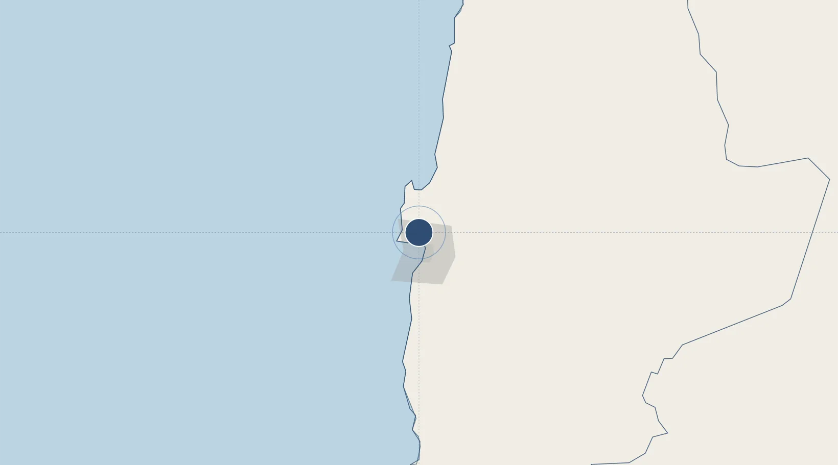
-23.4453°, -70.4452°
9,186 ft
Longest runway
1
Runways
455 ft
Elevation

Runway & Layout

Andrés Sabella Gálvez International Airport runway & taxiway layout
Runway & taxiway layout — OpenStreetMap (ODbL) / OurAirports

Radio Frequencies

TWR
118.1 MHz
ANTOFAGASTA TWR
GND
121.9 MHz
APP
119.3 MHz
ANTOFAGASTA APP
RDO
127.1 MHz
ANTOFAGASTA RDO
OurAirports

Navaids

FAG VOR-DME Antofagasta 114.90 MHz
R NDB Antofagasta 305 kHz
OurAirports

Runways · 1

RunwayDimensions SurfaceTrue headingLit
01/19 9,186 × 164ft Asphalt 007°
OurAirports

Airport Specifications

IATA code
ANF
OurAirports
ICAO code
SCFA
OurAirports
Airport class
Large airport
OurAirports
Scheduled service
Yes
OurAirports
Runway surface
Asphalt
OurAirports
Served city
Antofagasta
OurAirports

Location

Location of SCFA
Natural Earth 10m (public domain) · Antofagasta · SCFA · -23.45, -70.45GoogleOSMYandex

Nearby Logistics Neighbours

Airports
  1. 1Barriles Airport150 km
  2. 2El Loa Airport190 km
  3. 3Las Breas Airport236 km
  4. 4Chañaral Airport322 km
  5. 5Diego Aracena International Airport325 km
Nearest neighbours — logibook spatial index (haversine) over the source coordinates
Cities
  1. 1Antofagasta27 km
  2. 2Caleta Coloso34 km
  3. 3Mejillones38 km
  4. 4Puerto Angamos39 km
  5. 5Michilla81 km
Nearest neighbours — logibook spatial index (haversine) over the source coordinates
Ports
  1. 1Antofagasta23 km
  2. 2Mejillones39 km
  3. 3Tocopilla153 km
  4. 4Taltal217 km
  5. 5Caleta Patillos303 km
Nearest neighbours — logibook spatial index (haversine) over the source coordinates
Trade Zones
  1. 1Iquique Free Trade Zone362 km
  2. 2Arica Free Trade Zone566 km
  3. 3Chacalluta Arica Industrial Park566 km
  4. 4Zona Franca de Salta567 km
  5. 5Zona Franca de Tacna (Free Trade Zone of Tacna (ZOFRATACNA)598 km
Nearest neighbours — logibook spatial index (haversine) over the source coordinates
DatabookThe Record of Consolidated Knowledge
Chile beyond logistics?
Browse databook

All Sources

AirportsOurAirports
Public domain
Portsthe NGA World Port Index
Public domain (US gov)
LocationsUN/LOCODE
UN/LOCODE — free
Trade Zonesthe World Bank SEZ database
CC BY 4.0
Trade ZonesOpen Zone Map
CC BY
InfrastructureOpenStreetMap
ODbL 1.0
← Chile airports