Medium airport · Chile
Desierto de Atacama AirportSCAT
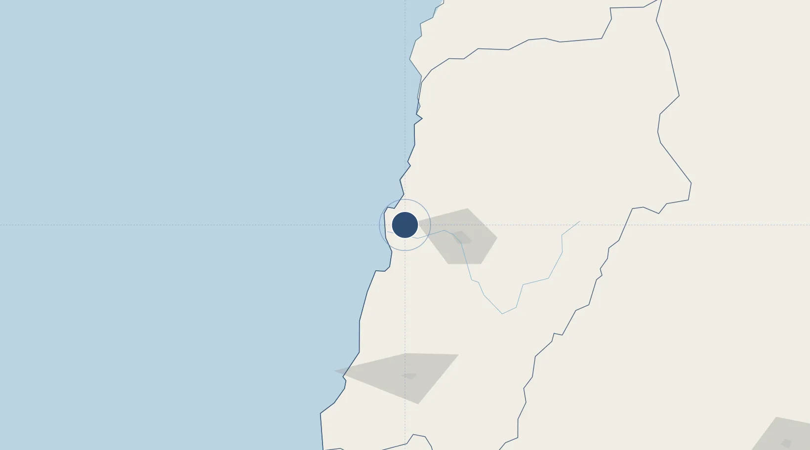
-27.2612°, -70.7792°
7,218 ft
Longest runway
1
Runways
670 ft
Elevation
Runway & Layout

Navaids
DAT VOR-DME Atacama 117.10 MHz
Runways · 1
| Runway | Dimensions | Surface | True heading | Lit |
|---|---|---|---|---|
| 17/35 | 7,218 × 148ft | Asphalt | 175° | ✓ |
Airport Specifications
IATA code
CPO
ICAO code
SCAT
Airport class
Medium airport
Scheduled service
Yes
Runway surface
Asphalt
Served city
Copiapo
Location
Nearby Logistics Neighbours
Airports
- 1Chañaral Airport105 km
- 2Ricardo García Posada Airport146 km
- 3Vallenar Airport149 km
- 4Las Breas Airport193 km
- 5La Florida Airport298 km
Cities
- 1Calderilla21 km
- 2Caldera25 km
- 3Copiapó45 km
- 4Tierra Amarilla55 km
- 5Barquito102 km
Ports
- 1Puerto Calderilla22 km
- 2Puerto Caldera24 km
- 3Puerto Chanaral102 km
- 4Huasco142 km
- 5Taltal209 km
Trade Zones
- 1Zona Franca Tucuman Free Trade Zone557 km
- 2Zona Franca de Salta640 km
- 3Zona Franca Mendoza Free Trade Zone668 km
- 4Córdoba Free Trade Zone781 km
- 5Iquique Free Trade Zone788 km
DatabookThe Record of Consolidated Knowledge
Chile beyond logistics?