Channel & Berth Profile
Pilotage, Tugs & Services
Pilotage compulsoryYES
Local assistanceYES
Potable waterYES
Facilities & Capabilities
Container—
Ro-Ro—
Liquid bulk—
Dry bulk—
Oil terminal—
Break bulk—
Dry dock—
Repairs—
Bunkering—
Rail link—
Dangerous cargo—
ISPS security—
Harbour Specifications
Harbour size
Very Small
Harbour type
Open Roadstead
Shelter
Poor
Water body
South Pacific Ocean
Overhead limit
No
Pilotage
Yes
Liner Connectivity
7.5
PLSCI
Port Liner Shipping Connectivity Index for Puerto Natales, as published by UNCTAD for the latest available quarter. Higher values indicate stronger scheduled liner-shipping integration.
Shown relative to the highest per-port PLSCI in the dataset (1,657.9).
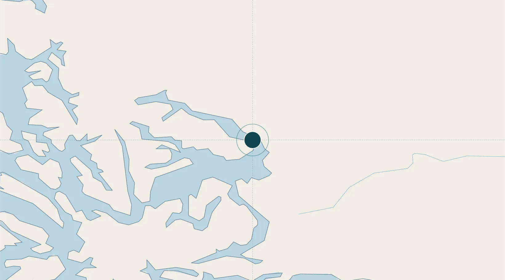
Location
Nearby Logistics Neighbours
Ports
- 1Puerto Sara191 km
- 2Rada Punta Arenas197 km
- 3Caleta Clarencia213 km
- 4Puerto Gallegos249 km
- 5San Sebastian Bay319 km
Cities
- 1Isla Guarello130 km
- 2Pecket166 km
- 3Cabo Negro181 km
- 4Bahia Laredo184 km
- 5Tres Puentes193 km
Airports
DatabookThe Record of Consolidated Knowledge
Chile beyond logistics?