Medium airport · Chile
Lieutenant Julio Gallardo AirportSCNT
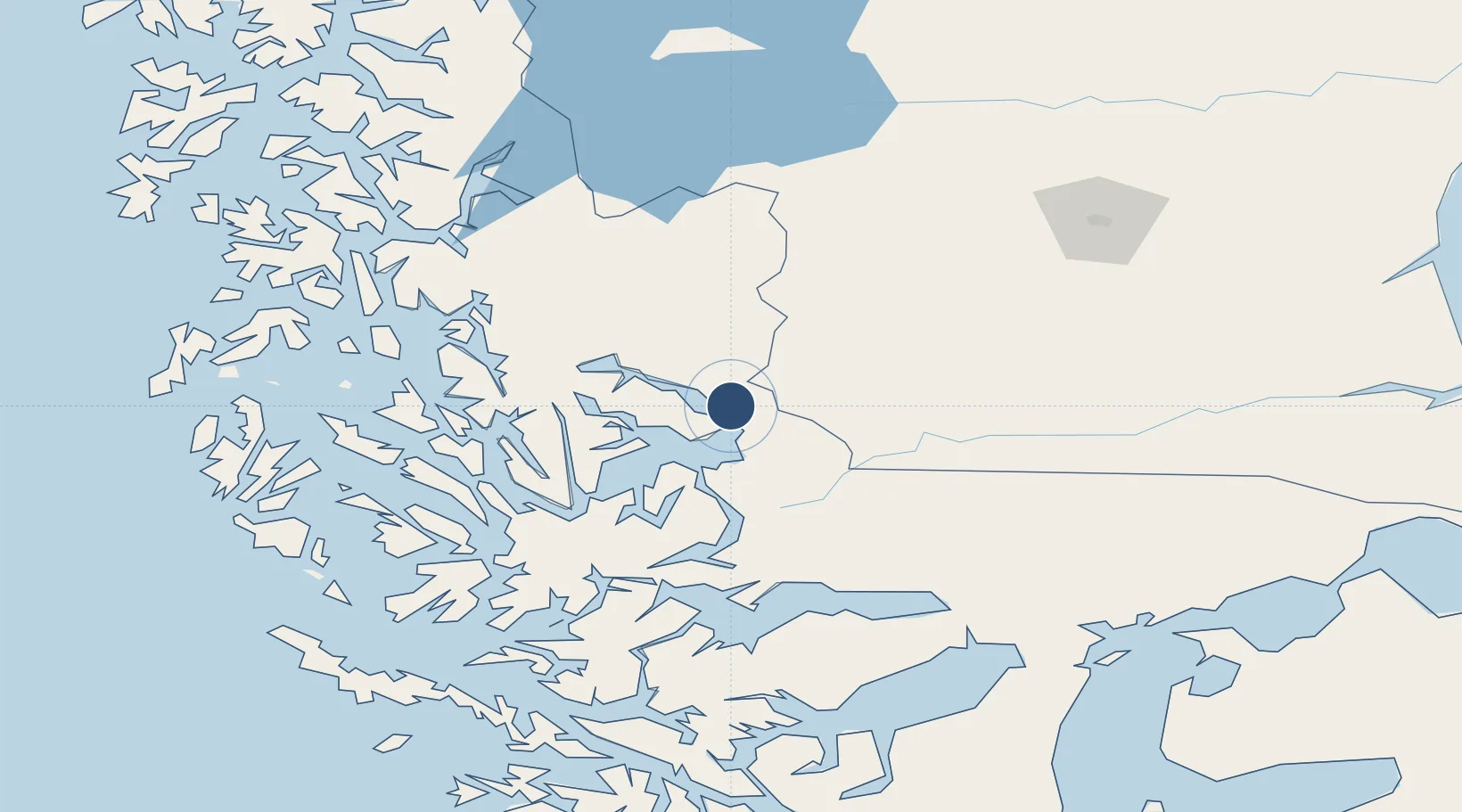
-51.6707°, -72.5291°
5,786 ft
Longest runway
1
Runways
217 ft
Elevation
Runway & Layout

Radio Frequencies
INFO
127.7 MHz
NATALES INFO
Navaids
PNT VOR-DME Puerto Natales 115.90 MHz
Runways · 1
| Runway | Dimensions | Surface | True heading | Lit |
|---|---|---|---|---|
| 10/28 | 5,786 × 98ft | Asphalt | 120° | ✓ |
Airport Specifications
IATA code
PNT
ICAO code
SCNT
Airport class
Medium airport
Scheduled service
Yes
Runway surface
Asphalt
Served city
Puerto Natales
Location
Nearby Logistics Neighbours
Airports
Cities
- 1Puerto Natales6 km
- 2Isla Guarello136 km
- 3Pecket169 km
- 4Cabo Negro184 km
- 5Bahia Laredo186 km
Ports
- 1Puerto Natales6 km
- 2Puerto Sara192 km
- 3Rada Punta Arenas200 km
- 4Caleta Clarencia214 km
- 5Puerto Gallegos246 km
DatabookThe Record of Consolidated Knowledge
Chile beyond logistics?