UN/LOCODE hub · Chile
CLPCK

Pecket

-52.9500°, -71.1833°
1
Transport functions

Transport Functions

Port
UN/LOCODE

Hub Profile

Region
MA
GeoNames

Location

Location of CLPCK
Natural Earth 10m (public domain) · MA · CLPCK · -52.95, -71.18GoogleOSMYandex

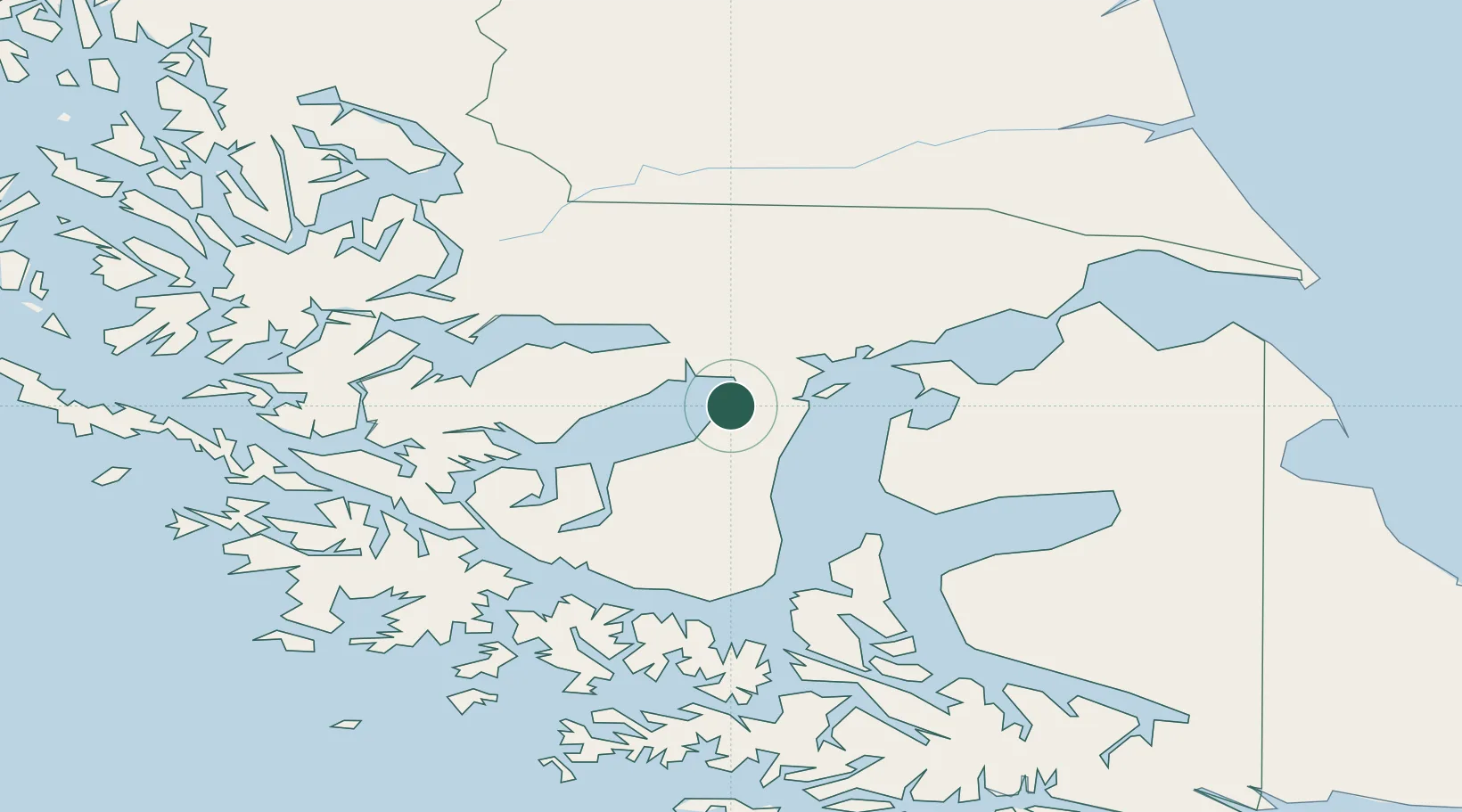
Nearby Logistics Neighbours

Cities
  1. 1Cabo Negro22 km
  2. 2Bahia Laredo26 km
  3. 3Tres Puentes27 km
  4. 4Panguipulli29 km
  5. 5Punta Arenas29 km
Nearest neighbours — logibook spatial index (haversine) over the source coordinates
Ports
  1. 1Rada Punta Arenas31 km
  2. 2Caleta Clarencia73 km
  3. 3Puerto Sara75 km
  4. 4Puerto Natales166 km
  5. 5San Sebastian Bay181 km
Nearest neighbours — logibook spatial index (haversine) over the source coordinates
Airports
  1. 1President Carlos Ibáñez International Airport23 km
  2. 2Captain Fuentes Martinez Airport67 km
  3. 328 de Noviembre Airport165 km
  4. 4Lieutenant Julio Gallardo Airport169 km
  5. 5Piloto Civil Norberto Fernández International Airport196 km
Nearest neighbours — logibook spatial index (haversine) over the source coordinates
DatabookThe Record of Consolidated Knowledge
Chile beyond logistics?
Browse databook

All Sources

LocationsUN/LOCODE
UN/LOCODE — free
Portsthe NGA World Port Index
Public domain (US gov)
AirportsOurAirports
Public domain
Trade Zonesthe World Bank SEZ database
CC BY 4.0
Trade ZonesOpen Zone Map
CC BY
← Chile locations