Large airport · Brazil
Rio Galeão – Tom Jobim International AirportSBGL
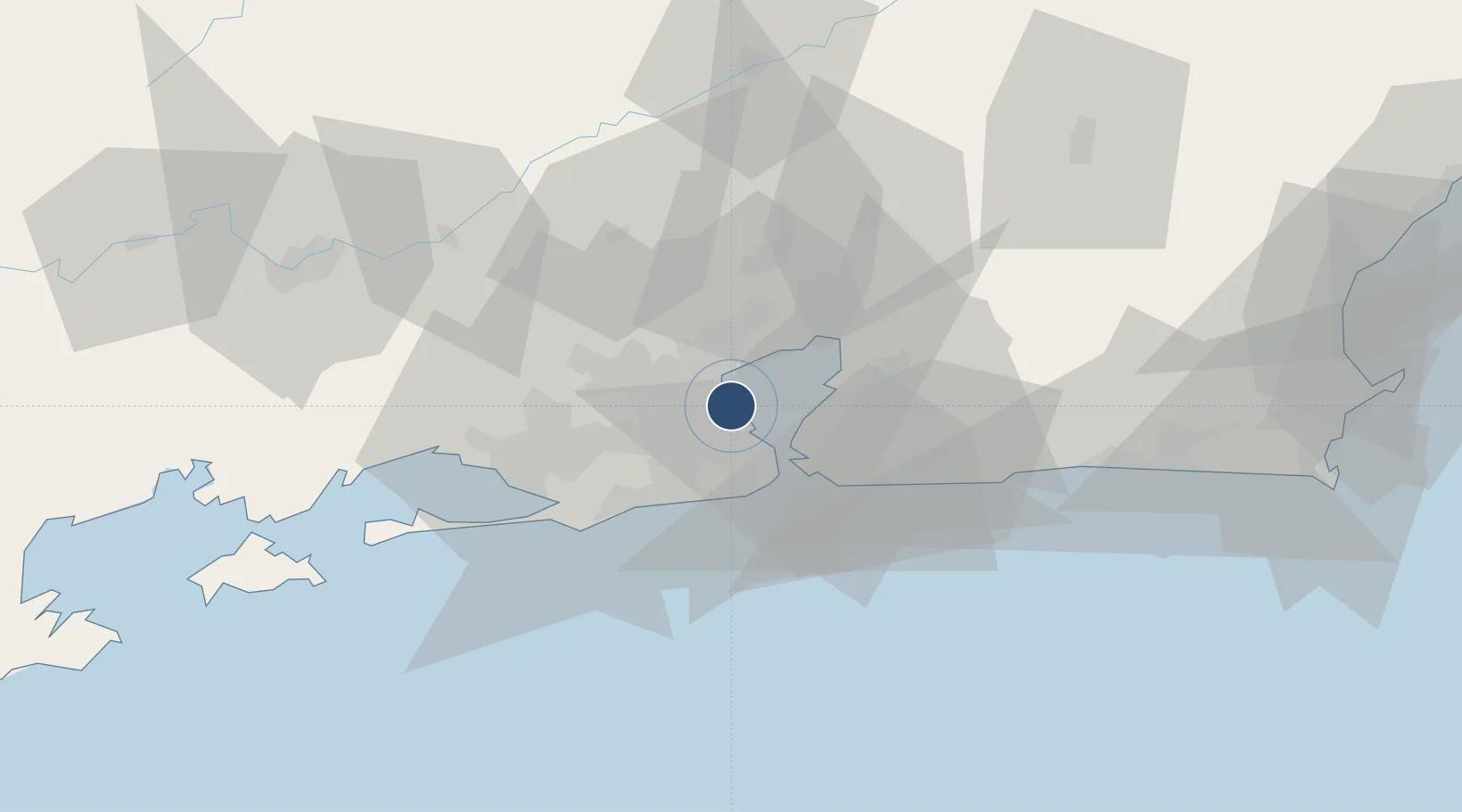
-22.8100°, -43.2506°
13,123 ft
Longest runway
2
Runways
28 ft
Elevation
Runway & Layout

Radio Frequencies
ATIS
127.6 MHz
TWR
118 MHz
GND
121.65 MHz
CLD
121 MHz
CLNC DEL
APP
119.35 MHz
RIO APP
OPS
122.5 MHz
Navaids
CAX VOR-DME Caxias 113.00 MHz
CAX NDB Caxias 400 kHz
IT NDB Meriti 290 kHz
PCX VOR-DME Porto 114.60 MHz
YLA NDB Ilha 330 kHz
Runways · 2
| Runway | Dimensions | Surface | True heading | Lit |
|---|---|---|---|---|
| 10/28 | 13,123 × 148ft | Concrete | 074° | ✓ |
| 15/33 | 10,433 × 154ft | Asphalt | 125° | ✓ |
Airport Specifications
IATA code
GIG
ICAO code
SBGL
Airport class
Large airport
Scheduled service
Yes
Runway surface
Concrete
Served city
Rio De Janeiro
Location
Nearby Logistics Neighbours
Airports
Cities
- 1Rio de Janeiro5 km
- 2Duque de Caxias6 km
- 3Mesquita18 km
- 4Niterói21 km
- 5São Gonçalo24 km
Ports
- 1Rio De Janeiro13 km
- 2Niteroi16 km
- 3Angra Dos Reis112 km
- 4Porto Do Forno128 km
- 5Macae160 km
Trade Zones
- 1ZPE de Itaguaí (RJ)55 km
- 2ZPE do Açú (RJ)252 km
- 3ZPE de Aracruz (ES)476 km
- 4ZPE de Teófilo Otoni (MG)580 km
- 5ZPE de Uberaba (MG)600 km
DatabookThe Record of Consolidated Knowledge
Brazil beyond logistics?