Transport Functions
Port
Road
Hub Profile
Place type
Provincial seat
Region
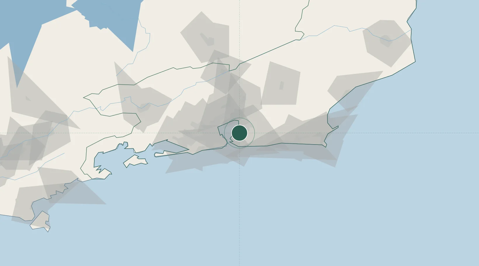
Rio de Janeiro
Time zone
America/Sao_Paulo
Elevation
21 m
Location
Nearby Logistics Neighbours
Cities
- 1Niterói9 km
- 2Maricá23 km
- 3Rio de Janeiro27 km
- 4Duque de Caxias29 km
- 5Mesquita41 km
Ports
- 1Niteroi13 km
- 2Rio De Janeiro18 km
- 3Porto Do Forno104 km
- 4Angra Dos Reis135 km
- 5Macae138 km
Airports
Trade Zones
- 1ZPE de Itaguaí (RJ)79 km
- 2ZPE do Açú (RJ)231 km
- 3ZPE de Aracruz (ES)460 km
- 4ZPE de Teófilo Otoni (MG)573 km
- 5ZPE de Uberaba (MG)621 km
DatabookThe Record of Consolidated Knowledge
Brazil beyond logistics?