UN/LOCODE hub · Brazil
BRDCS
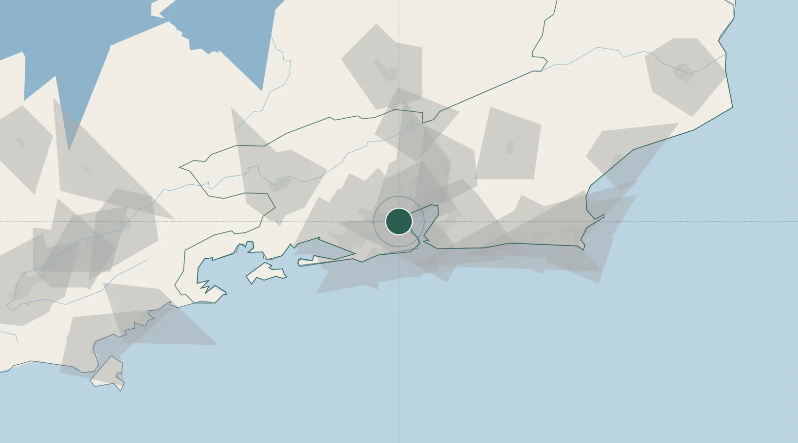
Duque de Caxias
-22.7833°, -43.3000°
818,329
Population
3
Transport functions
Transport Functions
Port
Road
Multimodal
Hub Profile
Place type
Populated place
Region
Rio de Janeiro
Population
818,329
Time zone
America/Sao_Paulo
Elevation
15 m
Location
Nearby Logistics Neighbours
Cities
- 1Rio de Janeiro8 km
- 2Mesquita12 km
- 3Niterói26 km
- 4São Gonçalo29 km
- 5Itaguaí39 km
Ports
- 1Rio De Janeiro19 km
- 2Niteroi22 km
- 3Angra Dos Reis107 km
- 4Porto Do Forno133 km
- 5Macae164 km
Airports
Trade Zones
- 1ZPE de Itaguaí (RJ)51 km
- 2ZPE do Açú (RJ)255 km
- 3ZPE de Aracruz (ES)477 km
- 4ZPE de Teófilo Otoni (MG)579 km
- 5ZPE de Uberaba (MG)594 km
DatabookThe Record of Consolidated Knowledge
Brazil beyond logistics?