Transport Functions
Port
Road
Airport
Hub Profile
Place type
Provincial seat
Region
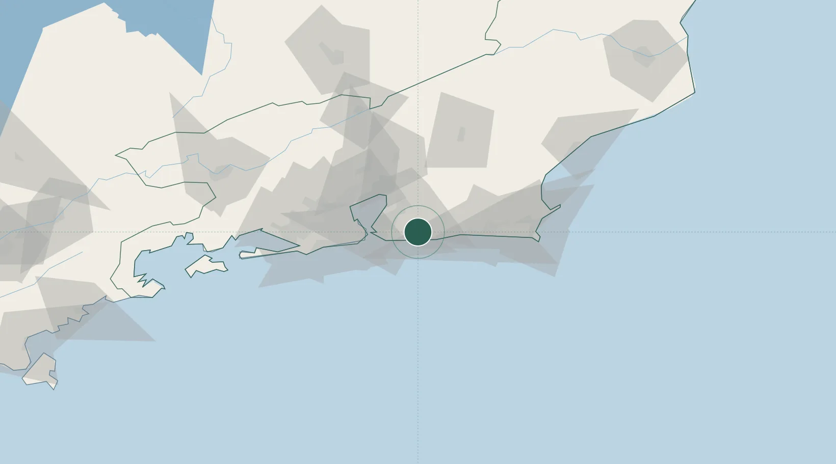
Rio de Janeiro
Population
211,986
Time zone
America/Sao_Paulo
Elevation
10 m
Location
Nearby Logistics Neighbours
Cities
- 1São Gonçalo23 km
- 2Niterói26 km
- 3Rio de Janeiro47 km
- 4Duque de Caxias52 km
- 5Mesquita64 km
Ports
- 1Niteroi31 km
- 2Rio De Janeiro36 km
- 3Porto Do Forno82 km
- 4Macae124 km
- 5Angra Dos Reis154 km
Airports
Trade Zones
- 1ZPE de Itaguaí (RJ)98 km
- 2ZPE do Açú (RJ)219 km
- 3ZPE de Aracruz (ES)455 km
- 4ZPE de Teófilo Otoni (MG)578 km
- 5ZPE de Uberaba (MG)644 km
DatabookThe Record of Consolidated Knowledge
Brazil beyond logistics?