Large airport · Brazil

Santos Dumont AirportSBRJ
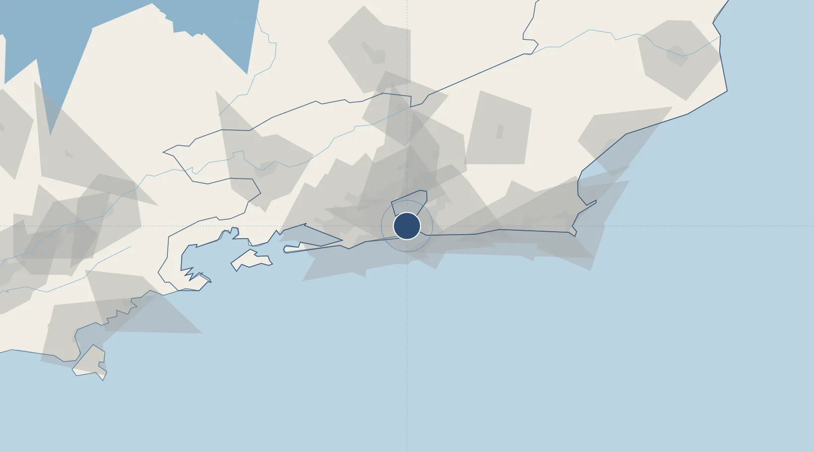
-22.9104°, -43.1628°
4,341 ft
Longest runway
2
Runways
11 ft
Elevation

Runway & Layout

Santos Dumont Airport runway & taxiway layout
Runway & taxiway layout — OpenStreetMap (ODbL) / OurAirports

Radio Frequencies

ATIS
132.65 MHz
TWR
118.7 MHz
RIO TWR
GND
121.7 MHz
CLD
121.05 MHz
TFC
APP
119.35 MHz
RIO CON
OurAirports

Navaids

PP NDB Paiol 415 kHz
OurAirports

Runways · 2

RunwayDimensions SurfaceTrue headingLit
02R/20L 4,341 × 138ft Asphalt 357°
02L/20R 4,134 × 98ft Asphalt 357°
OurAirports

Airport Specifications

IATA code
SDU
OurAirports
ICAO code
SBRJ
OurAirports
Airport class
Large airport
OurAirports
Scheduled service
Yes
OurAirports
Runway surface
Asphalt
OurAirports
Served city
Rio de Janeiro
OurAirports

Location

Location of SBRJ
Natural Earth 10m (public domain) · Rio de Janeiro · SBRJ · -22.91, -43.16GoogleOSMYandex

Nearby Logistics Neighbours

Airports
  1. 1Rio Galeão – Tom Jobim International Airport14 km
  2. 2Jacarepaguá - Roberto Marinho Airport23 km
  3. 3Campo Délio Jardim de Mattos Airport23 km
  4. 4Santa Cruz Air Force Base57 km
  5. 5Cabo Frio Airport112 km
Nearest neighbours — logibook spatial index (haversine) over the source coordinates
Cities
  1. 1Niterói10 km
  2. 2Rio de Janeiro13 km
  3. 3São Gonçalo18 km
  4. 4Duque de Caxias20 km
  5. 5Mesquita31 km
Nearest neighbours — logibook spatial index (haversine) over the source coordinates
Ports
  1. 1Rio De Janeiro1 km
  2. 2Niteroi6 km
  3. 3Porto Do Forno118 km
  4. 4Angra Dos Reis119 km
  5. 5Macae156 km
Nearest neighbours — logibook spatial index (haversine) over the source coordinates
Trade Zones
  1. 1ZPE de Itaguaí (RJ)63 km
  2. 2ZPE do Açú (RJ)249 km
  3. 3ZPE de Aracruz (ES)477 km
  4. 4ZPE de Teófilo Otoni (MG)588 km
  5. 5ZPE de Uberaba (MG)614 km
Nearest neighbours — logibook spatial index (haversine) over the source coordinates
DatabookThe Record of Consolidated Knowledge
Brazil beyond logistics?
Browse databook

All Sources

AirportsOurAirports
Public domain
Portsthe NGA World Port Index
Public domain (US gov)
LocationsUN/LOCODE
UN/LOCODE — free
Trade Zonesthe World Bank SEZ database
CC BY 4.0
Trade ZonesOpen Zone Map
CC BY
InfrastructureOpenStreetMap
ODbL 1.0
← Brazil airports