Transport Functions
Rail
Road
Multimodal
Hub Profile
Place type
Populated place
Region
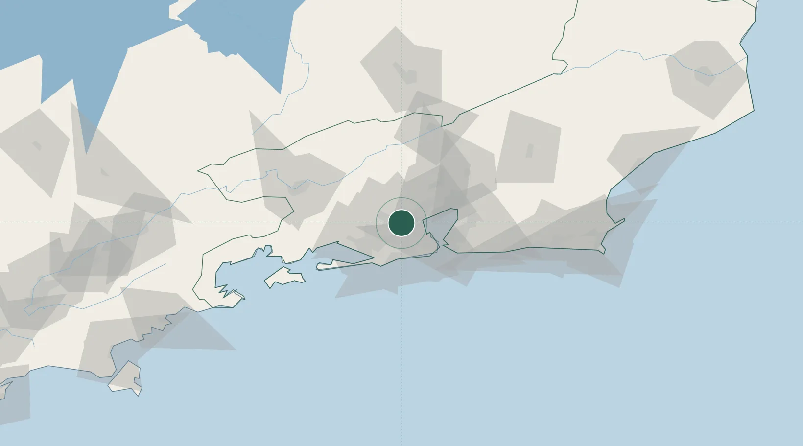
Rio de Janeiro
Time zone
America/Sao_Paulo
Elevation
22 m
Location
Nearby Logistics Neighbours
Cities
- 1Duque de Caxias12 km
- 2Rio de Janeiro17 km
- 3Itaguaí28 km
- 4Niterói38 km
- 5São Gonçalo41 km
Ports
- 1Rio De Janeiro30 km
- 2Niteroi33 km
- 3Angra Dos Reis96 km
- 4Porto Do Forno145 km
- 5Macae175 km
Airports
Trade Zones
- 1ZPE de Itaguaí (RJ)40 km
- 2ZPE do Açú (RJ)265 km
- 3ZPE de Aracruz (ES)485 km
- 4ZPE de Teófilo Otoni (MG)581 km
- 5ZPE de Uberaba (MG)584 km
DatabookThe Record of Consolidated Knowledge
Brazil beyond logistics?